Col des Égaux, Parc Naturel Régional de la Chartreuse
Map

Map

Facts and practical information
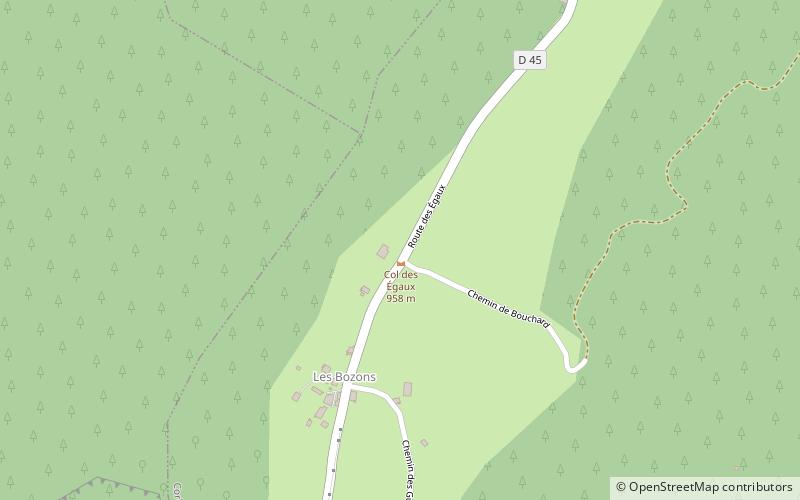
The Col des Égaux is a Chartreuse Mountains pass rising to 958 m above sea level and located in the southern French department of Savoie, in Rhône-Alpes. ()
Address
Parc Naturel Régional de la Chartreuse
ContactAdd
Social media
Add
Day trips
Col des Égaux – popular in the area (distance from the attraction)
Nearby attractions include: Entre-deux-Guiers, Roche Veyrand, Sommet du Pinet, La Cochette.
Frequently Asked Questions (FAQ)
How to get to Col des Égaux by public transport?
The nearest stations to Col des Égaux:
Bus
Bus
- Côte Barrier • Lines: 7010 (28 min walk)
- Dde • Lines: 7010 (30 min walk)


