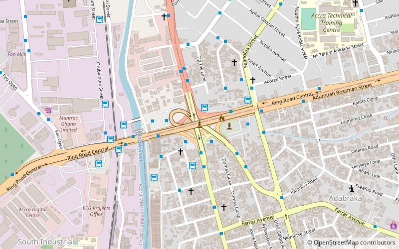
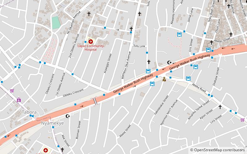
Ghana Communication Technology University, Accra
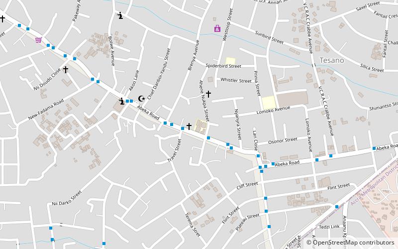
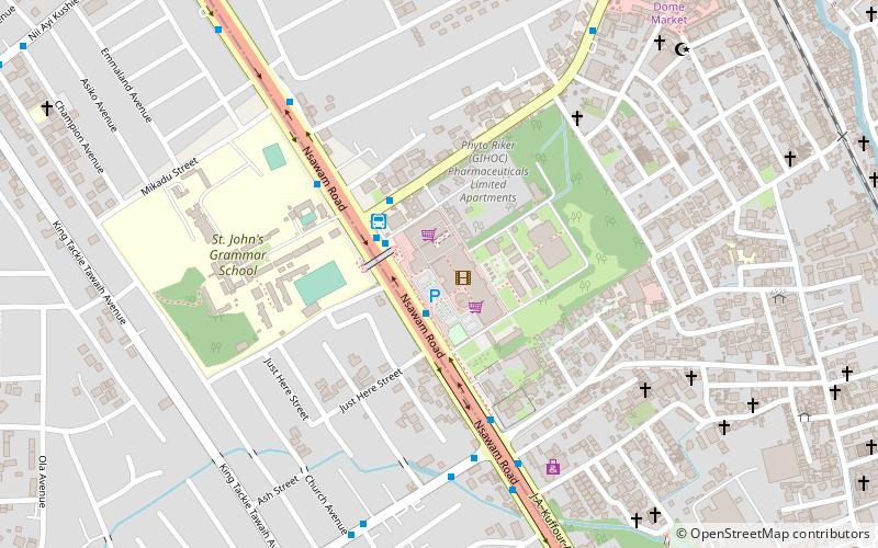
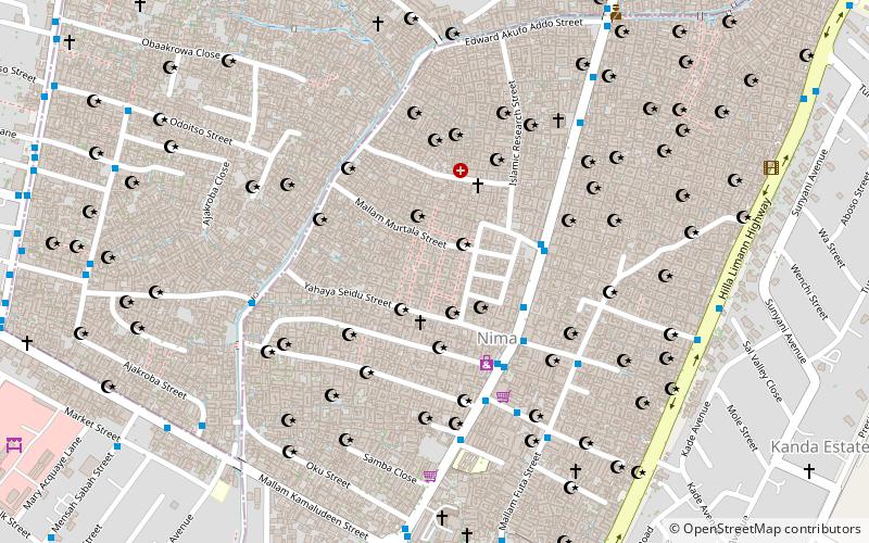
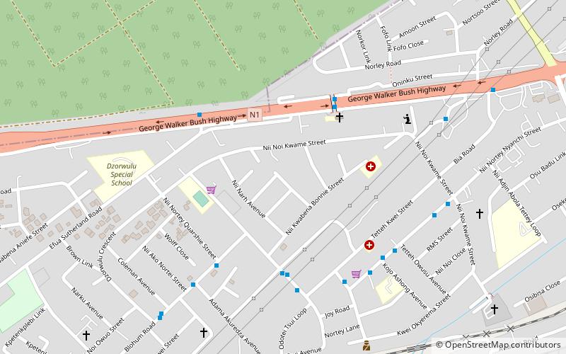
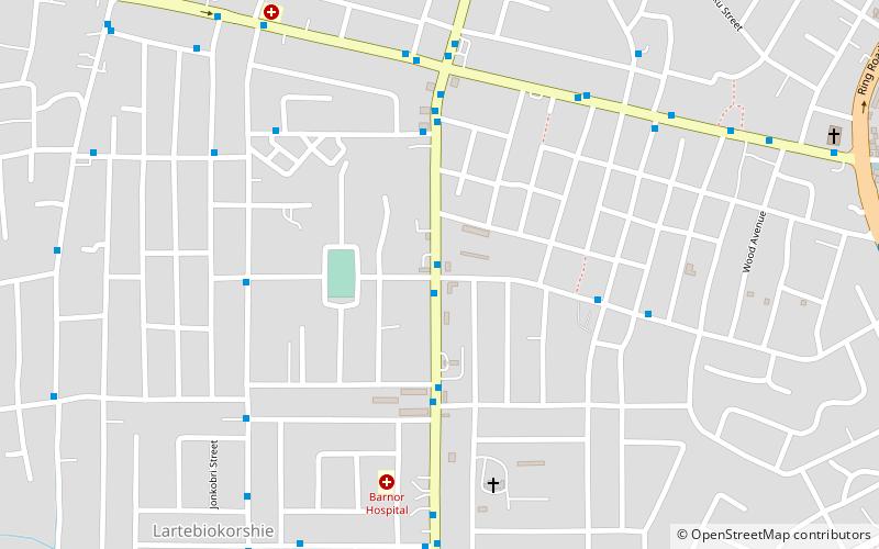
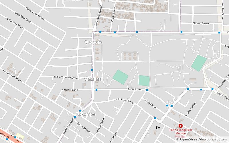
Map
Facts and practical information
Ghana Communication Technology University, was formerly known as Ghana Technology University College, and previously as Ghana Telecom University College. GCTU is a public-funded university, owned by government and founded in 2005. The change in name of the university to Ghana Communication Technology University was by way of the Public Universities' Bill, passed in 2020. ()
Day trips
Ghana Communication Technology University – popular in the area (distance from the attraction)
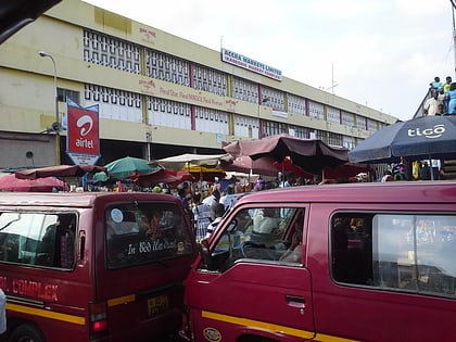
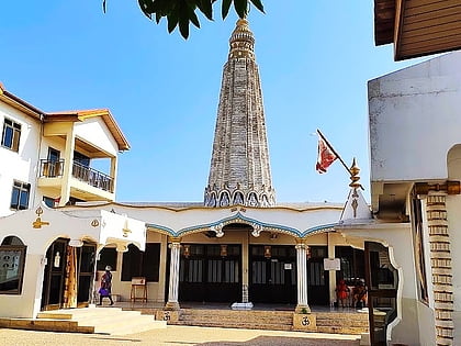
Nearby attractions include: Achimota Mall, Kaneshie market, United Denomination: Lighthouse Group of Churches, Hindu Monastery of Africa.
Frequently Asked Questions (FAQ)
How to get to Ghana Communication Technology University by public transport?
The nearest stations to Ghana Communication Technology University:
Bus
Train
Bus
- Adom Junction • Lines: 11, 20, 216, 219, 26, 275, 28, 29, 299, 30, 310, 331, 36, 46, 48 (2 min walk)
- PnP Junction • Lines: 20, 216, 219, 26, 275, 28, 29, 299, 30, 310, 331, 36, 48 (2 min walk)
Train
- Achimota Station (26 min walk)
