National Map Library, Thessaloniki


Facts and practical information
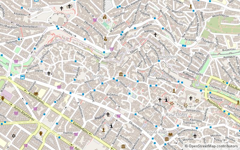
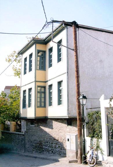
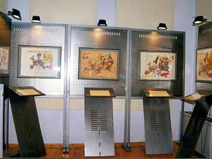
The National Map Library, properly the National Centre for Maps and Cartographic Heritage - National Map Library, is located in Thessaloniki, Central Macedonia, Greece. It was established in 1997 for the purpose of preserving, archiving, conserving, promoting, and displaying maps, studying the educational, cultural, and social role of maps, collaborating at a scientific and technical level with national and international organizations, organizing permanent and mobile exhibitions accompanied by catalogues, utilising public and private map collections, and organising seminars and conferences. ()
Θεσσαλονίκη (Ana Πόλις)Thessaloniki
National Map Library – popular in the area (distance from the attraction)
Nearby attractions include: Hagios Demetrios, Hagia Sophia, Atatürk Museum, Rotunda.
Frequently Asked Questions (FAQ)
Which popular attractions are close to National Map Library?
How to get to National Map Library by public transport?
Bus
- Σχολειο A • Lines: 26 (7 min walk)
- Κουλε Καφε • Lines: 23 (8 min walk)
Metro
- Βενιζέλου • Lines: Βασική Γραμμή Μετρό, Γραμμή Μετρό Καλαμαριάς (15 min walk)
- Αγίας Σοφίας • Lines: Βασική Γραμμή Μετρό, Γραμμή Μετρό Καλαμαριάς (16 min walk)
Ferry
- Thessaloniki (27 min walk)
Train
- Thessaloniki Railway Station (28 min walk)


