Tumon Bay Japanese fortifications
Map
Facts and practical information
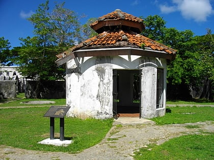
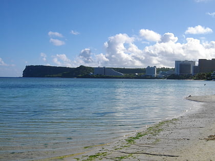
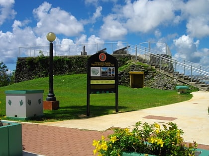
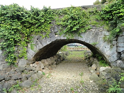
The Tumon Bay Japanese fortifications are a collection of World War II-era military structures along the coast of Guam in and near the village of Tumon. Many of these structures were listed on the National Register of Historic Places in 1991, using the alternate spelling "Tomhum". They include pillboxes on or close to the beach, and concrete structures and caves located a short way inland on the limestone cliffs that overlook the beach. ()
Coordinates: 13°30'26"N, 144°48'22"E
Location
Tamuning
ContactAdd
Social media
Add
Day trips
Tumon Bay Japanese fortifications – popular in the area (distance from the attraction)
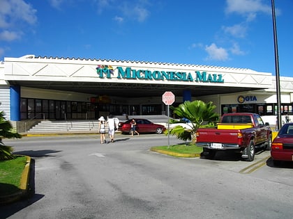
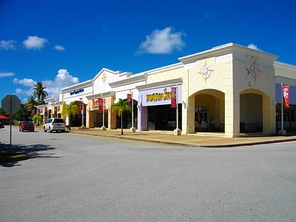
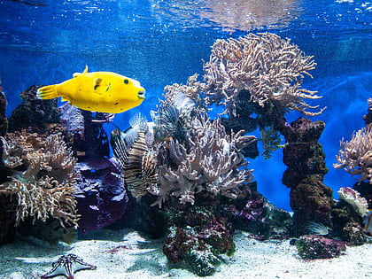
Nearby attractions include: Nike, Micronesia Mall, Agana Shopping Center, UnderWater World Guam.

