Pálos kolostor rom, Dobogókő
Map

Map

Facts and practical information
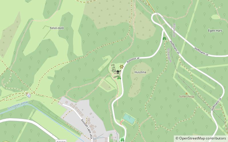
Just over three hundred people live in Pilisszentlélek, which is hidden in the heart of Pilis. A winding road leading north from the centre leads up to the ruins of the Pauline monastery, excavated between 1985-1992, on a hillside. The landscape is dominated from all directions by the forested hills of the Pilis.
Coordinates: 47°44'5"N, 18°50'36"E
Address
Dobogókő
ContactAdd
Social media
Add
Day trips
Pálos kolostor rom – popular in the area (distance from the attraction)
Nearby attractions include: Lake Palatinus, Danube-Ipoly National Park, Bálint Balassa Museum, Esztergom Synagogue.


