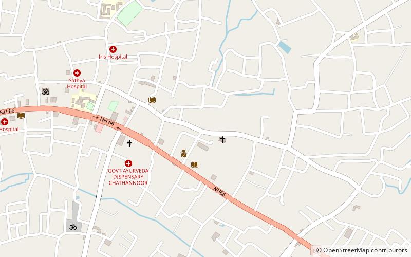
St. George's Church, Chathannoor
#1 among attractions in Chathannoor

Facts and practical information
St George Orthodox Church, Chathannoor belongs to the Trivandrum Diocese of Indian Orthodox Church and is one of the biggest churches in South Kerala in size. ()
Chathanoor Kattachal RoadChathannoor 691572 India
St. George's Church – popular in the area (distance from the attraction)
Nearby attractions include: Thekkumbhagam, Polachira, Paravur Lake, Puttingal Temple.
 Town, Beach
Thekkumbhagam
147 min walk • Thekkumbhagam or Thekkumbhagom is the southern border town of Paravur municipality in the Kollam district of Kerala, India. It is located at the Southern tip of Kollam's coastal area. It is in the Arabian Sea coast.
 Neighbourhood
Polachira, Chathannoor
53 min walk • Polachira is a wetland spread over 600 hectares located near Paravur Municipality in Kollam District of Kerala, India. Formerly part of the Chathannoor Grama Panchayath, it is now located in the Chirakkara Grama Panchayath.
 Natural attraction, Nature, Lake
Paravur Lake
124 min walk • Paravur Kayal is a lake in Paravur, Kollam district, Kerala, India. Although it is small, with an area of only 6.62 km², it is the end point of the Ithikkara River and part of the system of lakes and canals that make up the Kerala Backwaters.
 Temple
Puttingal Temple
132 min walk • Puttingal Temple is a Hindu temple in the coastal town of Paravur, India. The temple was founded after the presence of the goddess was experienced on an ant hill with Puttu being the Malayalam word for ant Hill.
 Beach
BeachPozhikara
150 min walk • Pozhikkara or Pozhikara is the Western border town of the Paravur municipality in the Kollam district of Kerala state in India. It is located at the South-Western tip of Kollam's coastal area. It is in the Arabian Sea coast. Pozhikara is a heritage site in Kerala.
 Neighbourhood
Kottiyam, Kollam
87 min walk • Kottiyam is one of the fast developing suburban towns located at the southern end of Kollam city in Kollam district, Kerala, India. The town is home to many popular educational institutions, hospitals, restaurants, hotels, and retail stores.
 Neighbourhood
Koottikkada, Kollam
144 min walk • Koottikkada or Koottikada is a small neighbourhood of the city of Kollam. It is the 29th ward in Kollam Municipal Corporation. Koottikkada is a thickly populated area in the city. Kollam-Thiruvananthapuram railway line is passing through Koottikada. So many mosques and temples are there in this area.
 Neighbourhood
Kottappuram, Paravur
133 min walk • Kottappuram or Kottapuram is an urban village, situated at Paravur municipality in Kollam district, Kerala. It is one among the two villages in Paravur municipality and one among the 30 villages coming under Kollam Taluk.
 City, Neighbourhood
Punthalathazham, Kollam
152 min walk • Punthalathazham is a landlocked neighbourhood of the city of Kollam in the Indian state of Kerala. It is located around six kilometres east of the core Kollam city towards Kannanalloor.
 Neighbourhood
Mevaram, Kollam
134 min walk • Mevaram, is a neighbourhood and a junction in the city of Kollam in the Indian state of Kerala. The Kollam Bypass, which forms part of National Highway-66, begins from Mevaram junction. Mevaram is located at the borders of Kollam Municipal Corporation. It is the southern tip of Kollam City.
 Neighbourhood
Thattamala, Kollam
142 min walk • Thattamala is a neighbourhood situated at the southeast border of Kollam city in state of Kerala, India. It is situated at National Highways – NH 66. Kerala Police have identified Thattamala as one of the traffic black spots in the state. Thattamala was a part of old Vadakkevila panchayath before the constitution of Kollam as a city.