Kalindi Kunj, Delhi
Map
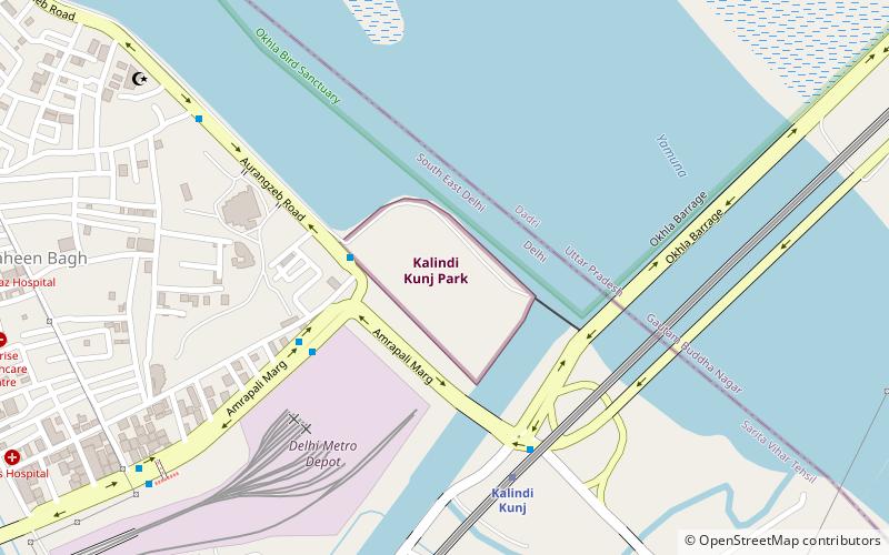
Map

Facts and practical information
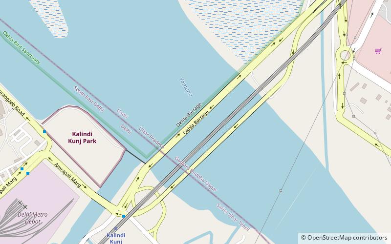
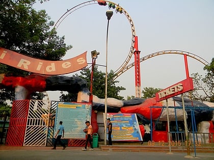
Kalindi Kunj is a public garden and a famous T point road in Delhi, located on the banks of River Yamuna, close to Okhla barrage. ()
Elevation: 673 ft a.s.l.Coordinates: 28°32'47"N, 77°18'32"E
Address
Amrapali MargSouth Delhi (Okhla)Delhi
ContactAdd
Social media
Add
Day trips
Kalindi Kunj – popular in the area (distance from the attraction)
Nearby attractions include: Worlds of Wonder, New Okhla Barrage, Supernova Spira, Sarita Vihar.
Frequently Asked Questions (FAQ)
Which popular attractions are close to Kalindi Kunj?
Nearby attractions include New Okhla Barrage, Delhi (8 min walk), Shaheen Bagh, Noida (21 min walk), Supernova Spira, Noida (23 min walk).
How to get to Kalindi Kunj by public transport?
The nearest stations to Kalindi Kunj:
Bus
Metro
Bus
- Okhla Extension • Lines: 402, 403, 507 (3 min walk)
- Kalindi Kunj • Lines: 34 (5 min walk)
Metro
- Kalindi Kunj • Lines: Magenta Line (7 min walk)
- Jasola Vihar Shaheen Bagh • Lines: Magenta Line (19 min walk)
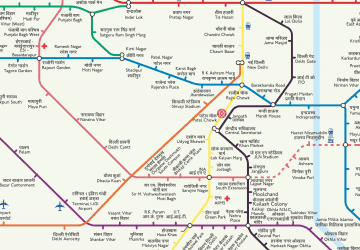 Metro
Metro