Sarita Vihar, Delhi
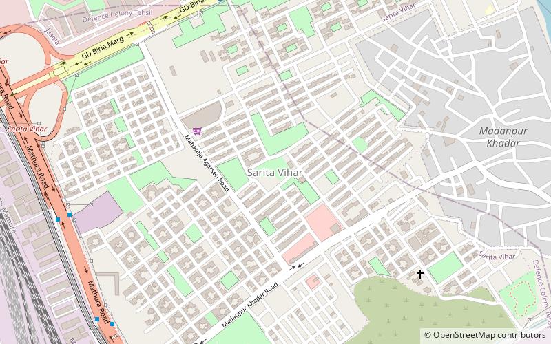
Map
Facts and practical information
Sarita Vihar is a residential colony situated in South East Delhi, India. It is near the Kalindi Kunj Toll bridge which connects the district to Noida. It is believed that the site was primarily chosen as the construction site for the Games Village of the 1982 Asian Games, however on the insistence of the late Prime Minister Rajiv Gandhi, the plan was changed to convert it into an upscale residential housing locality. In 2013, it was awarded the "Greenest Colony in Delhi" tag by the then Chief Minister of Delhi, Ms. Sheila Dikshit, credited to the efforts of its RWA members who have aggressively worked towards improving the state of parks and green spots in the locality. ()
Coordinates: 28°32'1"N, 77°17'37"E
Address
South Delhi (Badar Pur)Delhi
ContactAdd
Social media
Add
Getting there by public transportation
Public transportation stops near this location
- Metro
- Bus
 Metro
Metro
- Calculate routeK-Block, Sarita Vihar 10 min walk
- Calculate routeSarita Vihar 11 min walk
- Calculate routeMadanpur Khadar 11 min walk
- Calculate routeSarita Vihar 12 min walk
- Calculate routeJasola Apollo 19 min walk
- Calculate routeJasola Vihar Shaheen Bagh 23 min walk
- Calculate routeMohan Estate 25 min walk
Maps Metro
Metro
MetroDay trips


Frequently Asked Questions (FAQ)
How to get to Sarita Vihar by public transport?
The nearest stations to Sarita Vihar:
Bus
Metro
Bus
- K-Block, Sarita Vihar • Lines: 34 (10 min walk)
- Sarita Vihar • Lines: 405, 418A, 460, 8 (11 min walk)
Metro
- Sarita Vihar • Lines: Violet Line (12 min walk)
- Jasola Apollo • Lines: Violet Line (19 min walk)