Chilapata Forests, Jaldapara

Gallery (2)
Map
Map
Gallery
Facts and practical information
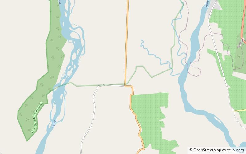
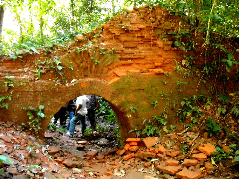
The Chilapata Forest is a dense forest near Jaldapara National Park in Dooars, Alipurduar district, West Bengal, India. It is about 40 km from Alipurduar, and just a few minutes away from Hasimara town. ()
Coordinates: 26°33'2"N, 89°22'47"E
Address
Jaldapara
ContactAdd
Social media
Add