Begumpet, Hyderabad
Map
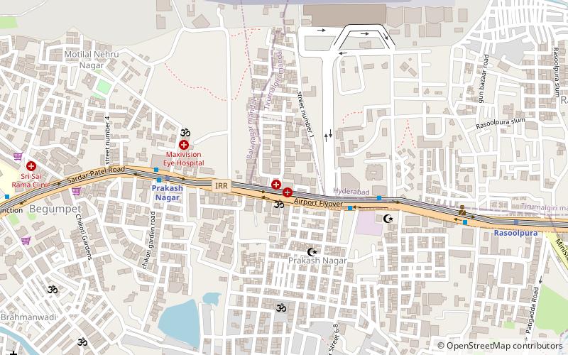
Map

Facts and practical information
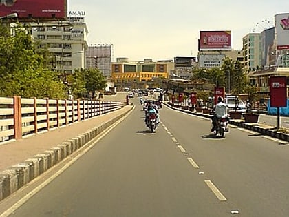
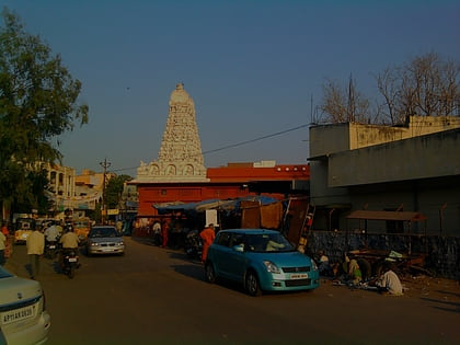
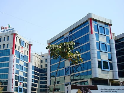
Begumpet is a part of Secunderabad, Hyderabad, Telangana, India. Begumpet is named after the daughter of the sixth Nizam, Basheer Unnisa Begum, who received it as part of her wedding dowry when she was married to the second Amir of Paigah Shams ul Umra Amir e Kabir. ()
Area: 2.36 mi²Coordinates: 17°26'42"N, 78°28'10"E
Day trips
Begumpet – popular in the area (distance from the attraction)
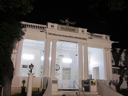
Nearby attractions include: Hyderabad Central, Jalavihar, The Hyderabad Public School, Parsi Fire Temple.
Frequently Asked Questions (FAQ)
Which popular attractions are close to Begumpet?
Nearby attractions include The Hyderabad Public School, Hyderabad (21 min walk), Jalavihar, Hyderabad (23 min walk).
How to get to Begumpet by public transport?
The nearest stations to Begumpet:
Metro
Train
Metro
- Prakash Nagar • Lines: 3 (6 min walk)
- Rasoolpura • Lines: 3 (12 min walk)
Train
- Sanjeevaiah Park (21 min walk)
- Begumpet (22 min walk)
