Sikh Village, Hyderabad
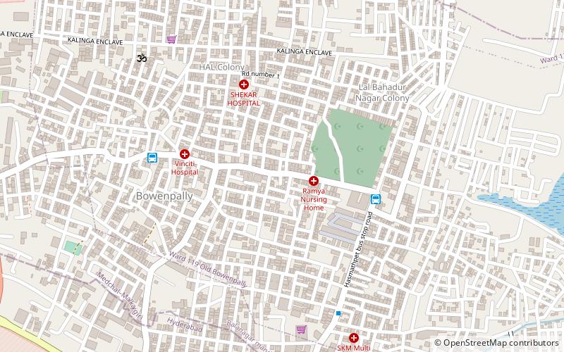
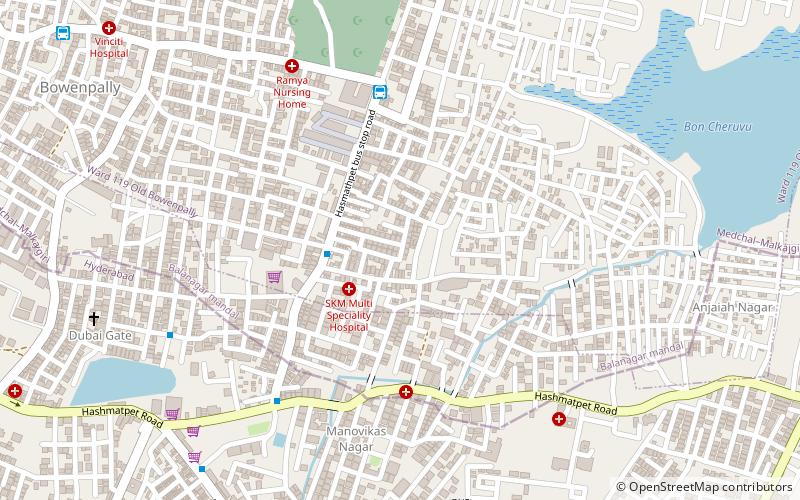
Map
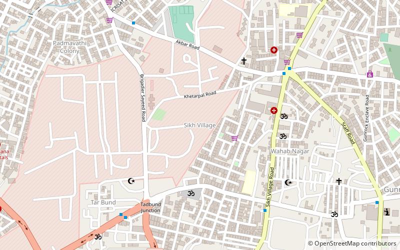
Map

Facts and practical information
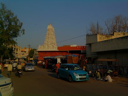
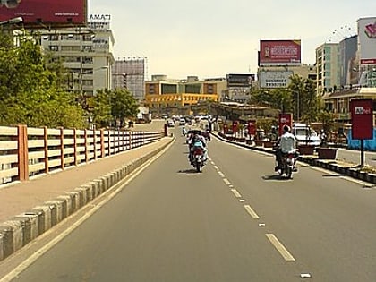
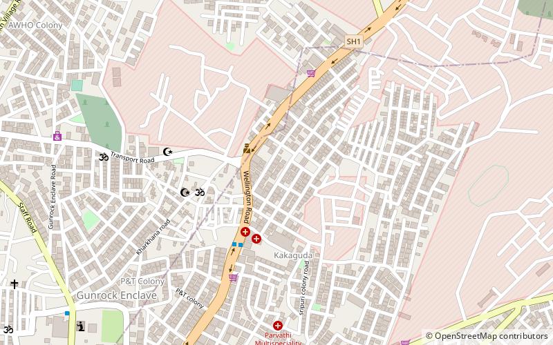
Sikh Village earlier known as Sikhul thota is a small suburb in Secunderabad, India. The name is attributed to some of the Nizam's Sikh troops being settled here a century ago. It is 3 km from Paradise Circle and 2 km from Bowenpally. ()
Coordinates: 17°27'36"N, 78°29'14"E
Address
Hyderabad
ContactAdd
Social media
Add
Day trips
Sikh Village – popular in the area (distance from the attraction)
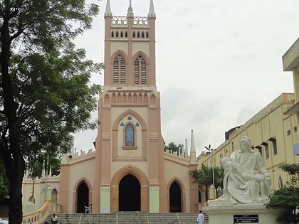
Nearby attractions include: Basilica of Our Lady of the Assumption, Hussain Sagar, Secunderabad, ISKCON Secunderabad.
Frequently Asked Questions (FAQ)
How to get to Sikh Village by public transport?
The nearest stations to Sikh Village:
Metro
Bus
Metro
- Jbs • Lines: 2 (26 min walk)
- Paradise • Lines: 3 (30 min walk)
Bus
- Hasmathpet Bus stop (28 min walk)
- Jubilee Bus Station (29 min walk)
