Mukkolakkal Bhagawathi Temple, Thiruvananthapuram
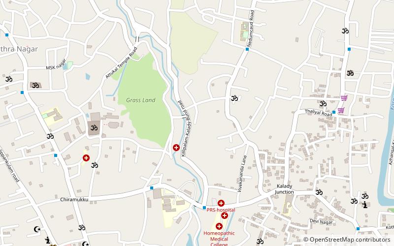
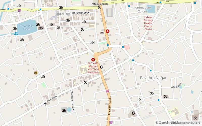
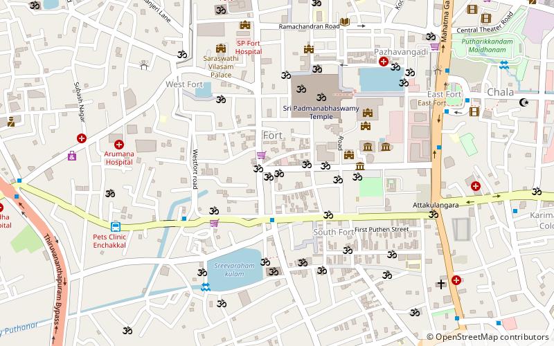
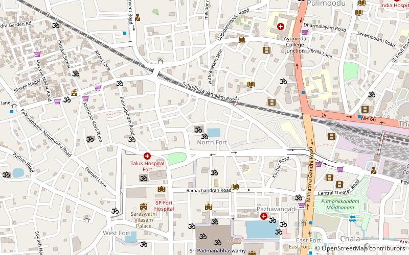
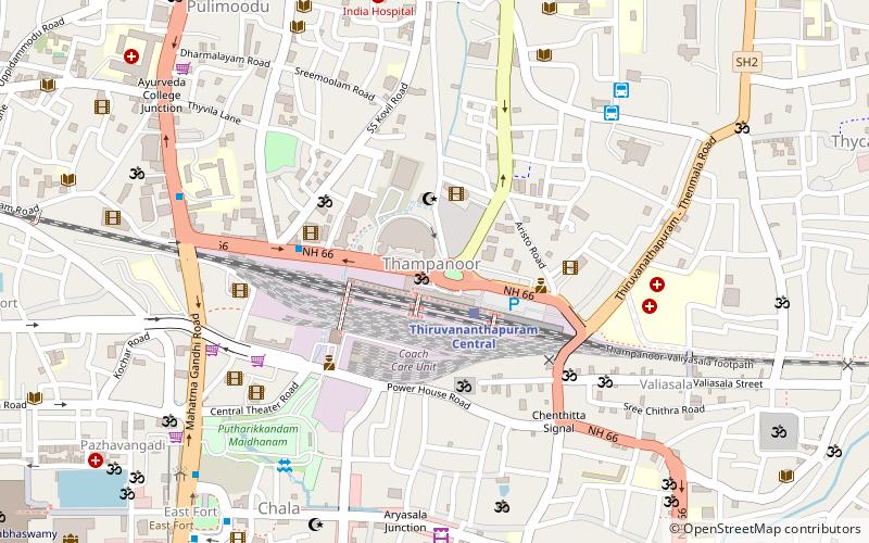
Map
Facts and practical information
The Mukkolakkal Bhagawathi Temple is a famous temple of the Hindu mother goddess Bhagawati. One of the renowned Goddess Temples in Kerala, Sree Varaham Mukkolackal Bhagavathi Temple is situated at Sreevaraham, on the south-east of Sree Padmanabha Swamy Temple in Thiruvananthapuram. The temple is situated on the south of the famous Sreevaraham Lakshmi Varaha Temple. 'Ooruttu Mahotsavam', the annual religious festival of the temple, is conducted in March - April every year. ()
Coordinates: 8°28'12"N, 76°57'36"E
Address
Thiruvananthapuram
ContactAdd
Social media
Add
Getting there by public transportation
Public transportation stops near this location
- Bus
- Train
 Bus
Bus
- Calculate routeEast Fort 33 min walk
- Calculate routeThiruvananthapuram Central 33 min walk
- Calculate routeThiruvananthapuram Thampanoor Railway Station 33 min walk
Day trips
Mukkolakkal Bhagawathi Temple – popular in the area (distance from the attraction)
Nearby attractions include: Padmanabhaswamy Temple, Pazhavangadi Ganapathy Temple, Irumkulangara Durga Devi Temple, Venkatachalapathy Temple.


Frequently Asked Questions (FAQ)
Which popular attractions are close to Mukkolakkal Bhagawathi Temple?
Nearby attractions include Attukal Temple, Thiruvananthapuram (1 min walk), Aryankuzhi Devi Temple, Thiruvananthapuram (1 min walk), Konchiravila Devi Temple, Thiruvananthapuram (16 min walk), Irumkulangara Durga Devi Temple, Thiruvananthapuram (24 min walk).
How to get to Mukkolakkal Bhagawathi Temple by public transport?
The nearest stations to Mukkolakkal Bhagawathi Temple:
Bus
Train
Bus
- East Fort • Lines: 111 (33 min walk)
Train
- Thiruvananthapuram Central (33 min walk)
- Thiruvananthapuram Thampanoor Railway Station (33 min walk)