Venkatachalapathy Temple, Thiruvananthapuram
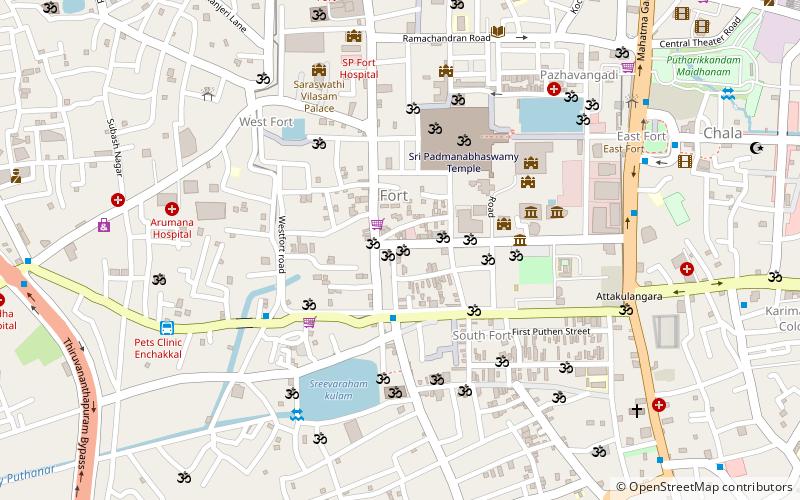
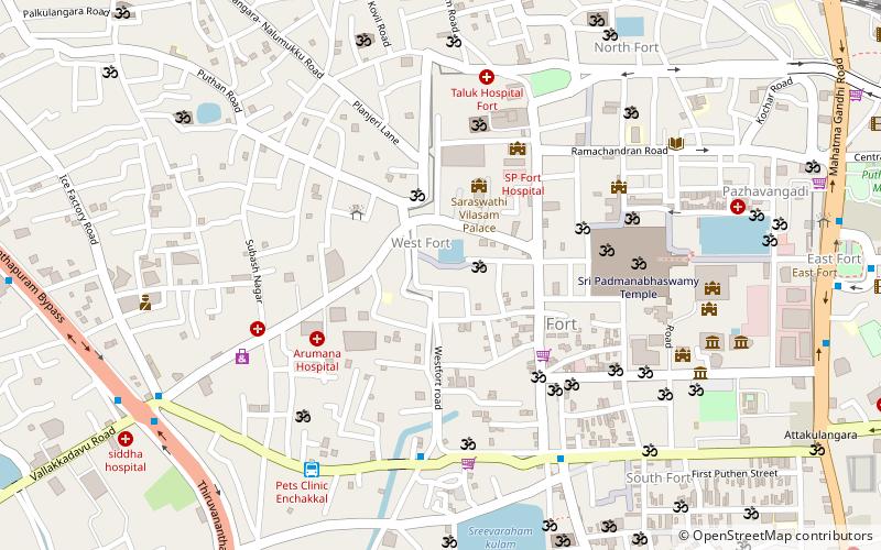
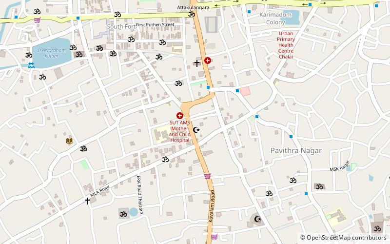
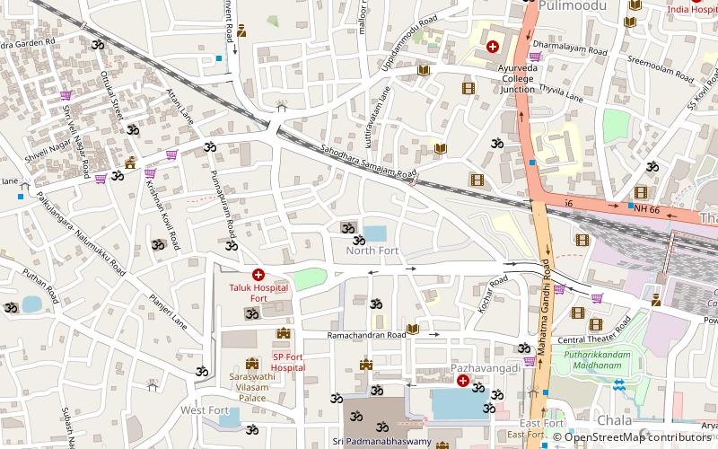
Map
Facts and practical information
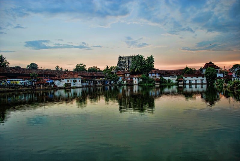
Sri Venkatachalapathy Temple is a temple situated in Trivandrum, Kerala, about a minute walk from the southern gate of Sri Padmanabhaswamy Temple. It is also known as Srinivasar kovil, Perumal Kovil, Iyyengar Kovil or Desikar Sannidhi. The temple was built in 1898. The poojas in Kerala temples are based on the Namboodiri sampradayam, except a few like this. ()
Completed: 1898 (128 years ago)Coordinates: 8°28'49"N, 76°56'33"E
Address
Thiruvananthapuram
ContactAdd
Social media
Add
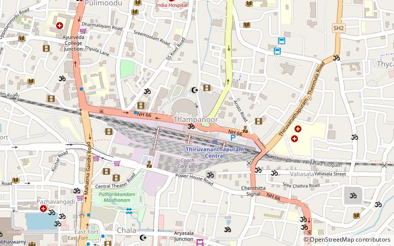
Getting there by public transportation
Public transportation stops near this location
- Bus
- Train
 Bus
Bus
- Calculate routeEnchakkal 10 min walk
- Calculate routeEast Fort 11 min walk
- Calculate routeThampanoor 21 min walk
- Calculate routeGolden Travels Bus Boarding Point 30 min walk
- Calculate routeThiruvananthapuram Central 21 min walk
- Calculate routeThiruvananthapuram Thampanoor Railway Station 22 min walk
- Calculate routeTrivandrum Pettah 32 min walk
Day trips
Venkatachalapathy Temple – popular in the area (distance from the attraction)
Nearby attractions include: Padmanabhaswamy Temple, Mall Of Travancore, Gandhari Amman Kovil, Pettah Market.


Frequently Asked Questions (FAQ)
Which popular attractions are close to Venkatachalapathy Temple?
Nearby attractions include Pazhavangadi Ganapathy Temple, Thiruvananthapuram (5 min walk), Padmanabhaswamy Temple, Thiruvananthapuram (5 min walk), Mithrananthapuram Trimurti Temple, Thiruvananthapuram (6 min walk), Kuthiramalika Palace, Thiruvananthapuram (7 min walk).
How to get to Venkatachalapathy Temple by public transport?
The nearest stations to Venkatachalapathy Temple:
Bus
Train
Bus
- Enchakkal (10 min walk)
- East Fort • Lines: 111 (11 min walk)
Train
- Thiruvananthapuram Central (21 min walk)
- Thiruvananthapuram Thampanoor Railway Station (22 min walk)