Kotturpuram, Chennai
Map
Gallery

Facts and practical information
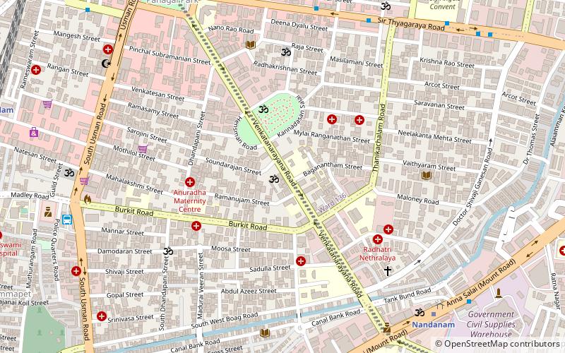
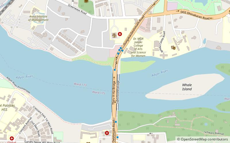
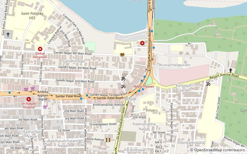
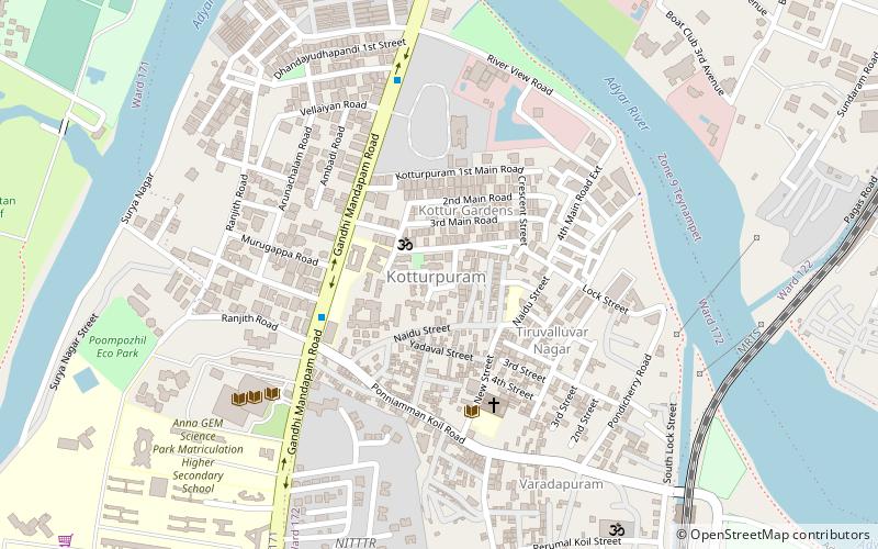
Kotturpuram, also known as Kottur, is a neighbourhood in Chennai, Tamil Nadu, India and is situated in the Southern banks of the Adyar River. It is surrounded by Nandanam in the North and North-West, Adyar in the South-East, IIT Chennai and Guindy in the South and Little Mount in the South-West. The neighbourhood is served by Kotturpuram MRTS railway station. Centuries old Hindu temples, such as Perumal Koil and Ponniamman Koil are situated in Kottur. ()
Coordinates: 13°1'10"N, 80°14'37"E
Address
Saidapet (G D Naidu Nagar East)Chennai
ContactAdd
Social media
Add
Day trips
Kotturpuram – popular in the area (distance from the attraction)
Nearby attractions include: Birla Planetarium, Gandhi Mandapam, Church of Our Lady of Light, Madhya Kailash.
Frequently Asked Questions (FAQ)
Which popular attractions are close to Kotturpuram?
Nearby attractions include Anna Centenary Library, Chennai (7 min walk), Raja Annamalaipuram, Chennai (12 min walk), Birla Planetarium, Chennai (14 min walk), Greenways Road, Chennai (17 min walk).
How to get to Kotturpuram by public transport?
The nearest stations to Kotturpuram:
Bus
Light rail
Metro
Bus
- Kottur • Lines: 5C (5 min walk)
- Kotturpuram • Lines: 5C (7 min walk)
Light rail
- Kotturpuram • Lines: 1 (13 min walk)
- Greenways Road • Lines: 1 (15 min walk)
Metro
- Nandanam • Lines: 1 (23 min walk)
- Saidapet • Lines: 1 (28 min walk)

