Thenmala Dam, Thenmala

Gallery (2)
Map
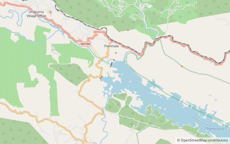
Map
Gallery
Facts and practical information
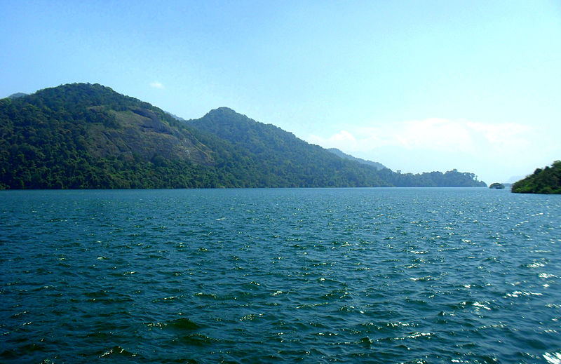
The Thenmala dam is the second largest irrigation project in Kerala, India. It impounds the longest reservoir in the state and water from the reservoir is also used for power generation. ()
Opened: 1986 (40 years ago)Reservoir area: 8.88 mi²Coordinates: 8°57'0"N, 77°4'20"E
Address
Thenmala
ContactAdd
Social media
Add
Day trips
Thenmala Dam – popular in the area (distance from the attraction)
Nearby attractions include: Kulathupuzha Sastha Temple.
