Indore Museum, Indore
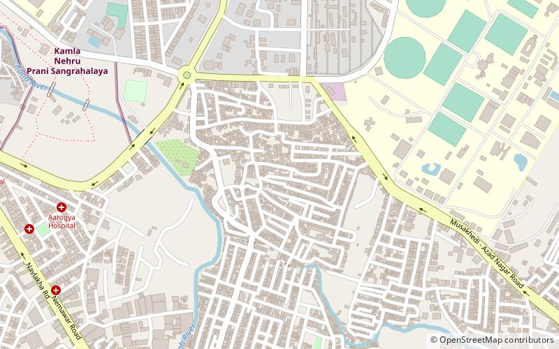
Map
Facts and practical information
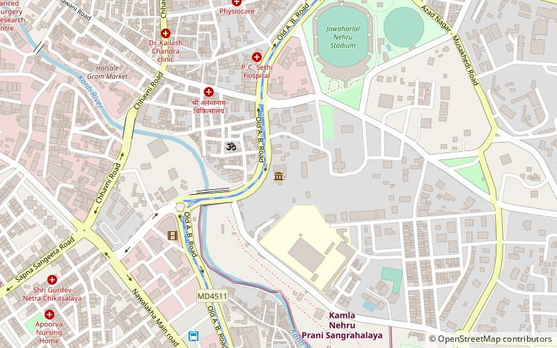
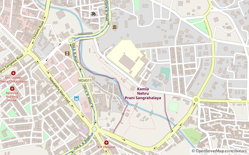
Indore Museum is museum situated in Indore in Madhya Pradesh state in India. It is located near the General Post Office in Indore.There are two galleries in the Museum.The artefacts exhibited in the museum range from the prehistoric to the modern era. ()
Coordinates: 22°42'19"N, 75°52'45"E
Address
Indore
ContactAdd
Social media
Add
Getting there by public transportation
Public transportation stops near this location
- Bus
- Train
 Bus
Bus
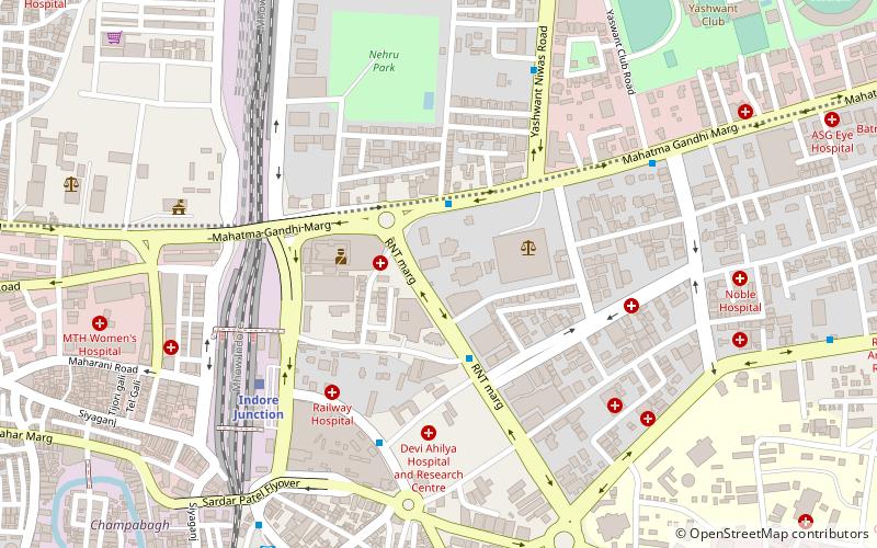
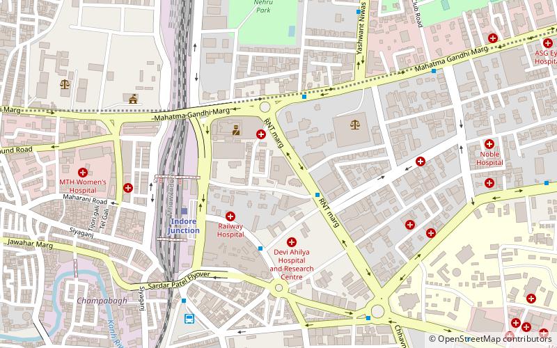
- Calculate routeNavlakha Bus stand 10 min walk
- Calculate routeSarvate Bus Station 23 min walk
- Calculate routeIndore Junction 28 min walk
Day trips


Frequently Asked Questions (FAQ)
Which popular attractions are close to Indore Museum?
Nearby attractions include Kamla Nehru Prani Sangrahalay, Indore (6 min walk), Azad Nagar, Indore (20 min walk), Holkar Science College, Indore (22 min walk).
How to get to Indore Museum by public transport?
The nearest stations to Indore Museum:
Bus
Train
Bus
- Navlakha Bus stand (10 min walk)
- Sarvate Bus Station (23 min walk)
Train
- Indore Junction (28 min walk)