Nehru Stadium, Indore
Map
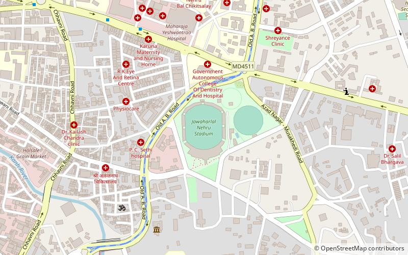
Map

Facts and practical information
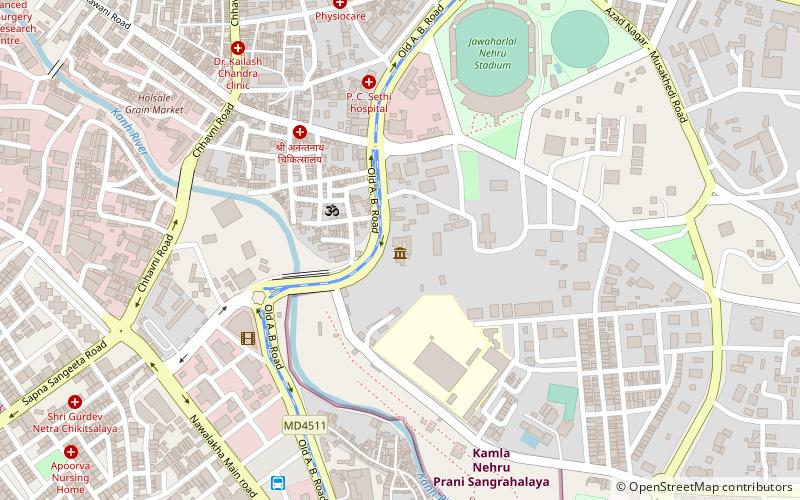
Jawaharlal Nehru Stadium located in Indore, India, is a multi-purpose stadium used for cricket, football, Kho Kho, and basketball with a capacity for 25,000 people. ()
Coordinates: 22°42'33"N, 75°52'53"E
Address
Indore
ContactAdd
Social media
Add
Day trips
Nehru Stadium – popular in the area (distance from the attraction)
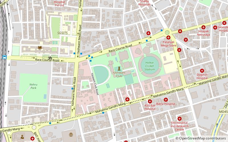
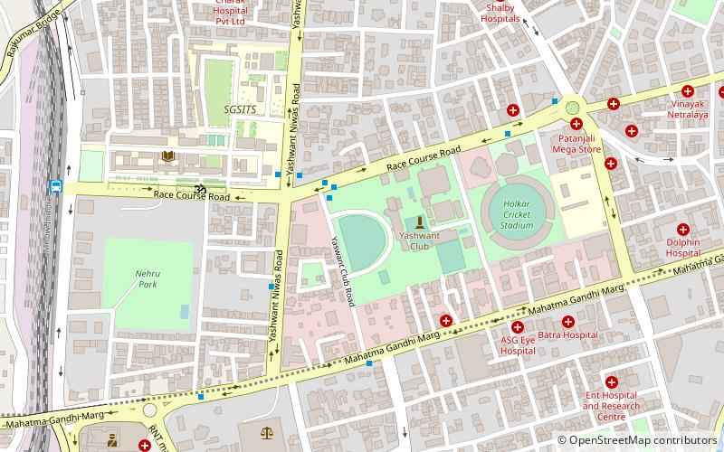
Nearby attractions include: Yeshwant Club, Ravindra Natya Grah, Treasure Island Next Mall, Kamla Nehru Prani Sangrahalay.
Frequently Asked Questions (FAQ)
Which popular attractions are close to Nehru Stadium?
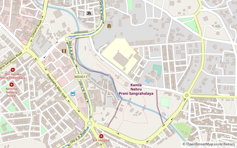
Nearby attractions include Indore Museum, Indore (8 min walk), Kamla Nehru Prani Sangrahalay, Indore (13 min walk), Azad Nagar, Indore (23 min walk), Ravindra Natya Grah, Indore (23 min walk).
How to get to Nehru Stadium by public transport?
The nearest stations to Nehru Stadium:
Bus
Train
Bus
- Navlakha Bus stand (17 min walk)
- Sarvate Bus Station (23 min walk)
Train
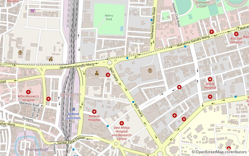
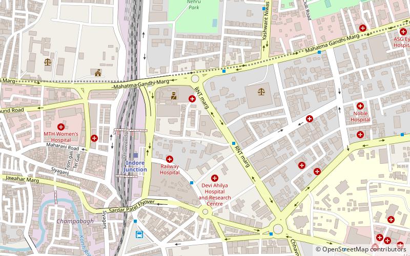
- Indore Junction (25 min walk)

