Kangla fort, Imphal
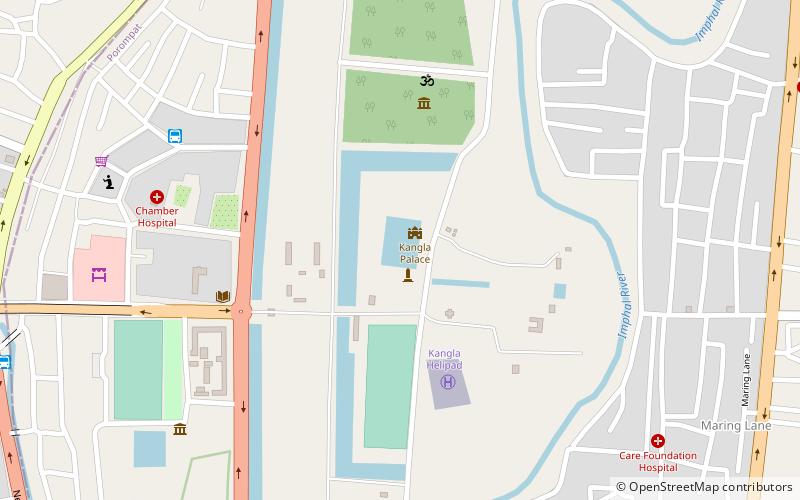
Map
Facts and practical information
Kangla fort is a place located in Imphal (Manipur state) and belongs to the category of historical place.
It is situated at an altitude of 2572 feet, and its geographical coordinates are 24°48'31"N latitude and 93°56'30"E longitude.
Planning a visit to this place, one can easily and conveniently get there by public transportation. Kangla fort is a short distance from the following public transport stations: Bus and Winger to Dimapur and other cities (bus, 9 min walk).
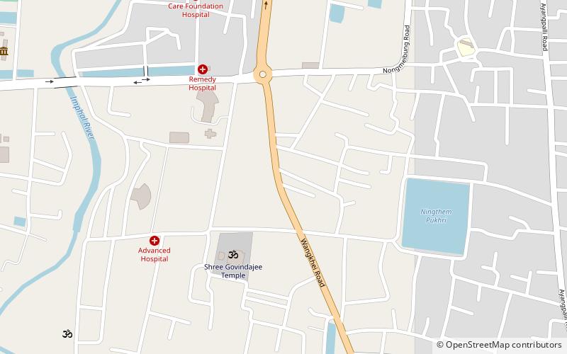
Among other places and attractions worth visiting in the area are: Ima Market (shopping, 12 min walk), Imphal East district (neighbourhood, 21 min walk), Shree Govindajee Temple (temple, 22 min walk).
Coordinates: 24°48'31"N, 93°56'30"E
Address
Imphal
ContactAdd
Social media
Add
Getting there by public transportation
Public transportation stops near this location
- Bus
 Bus
Bus
- Calculate routeBus and Winger to Dimapur and other cities 9 min walk
- Calculate routeWinger to Dimapur 10 min walk
- Calculate routeNagaland State Transportation 13 min walk
- Calculate routeTicket counter bus for everywhere 14 min walk
Day trips

Frequently Asked Questions (FAQ)
Which popular attractions are close to Kangla fort?
Nearby attractions include Imphal East district, Imphal (21 min walk), Shree Govindajee Temple, Imphal (22 min walk).
How to get to Kangla fort by public transport?
The nearest stations to Kangla fort:
Bus
Bus
- Bus and Winger to Dimapur and other cities (9 min walk)
- Winger to Dimapur (10 min walk)