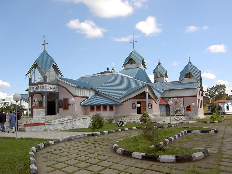
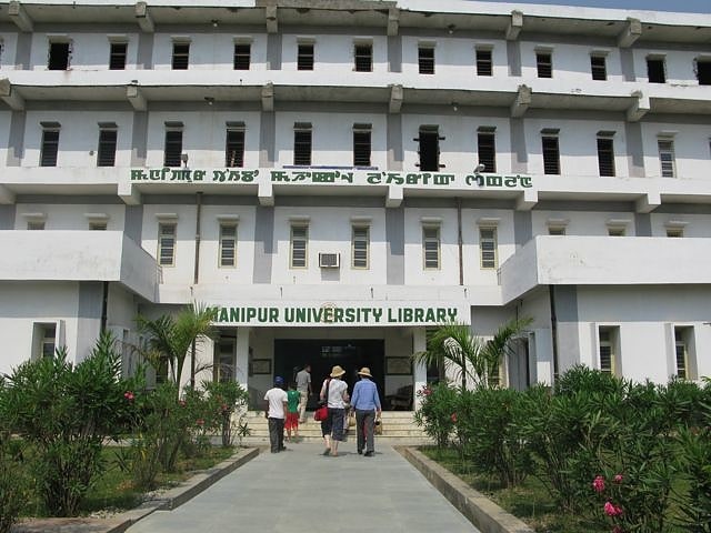
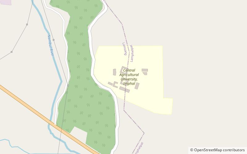
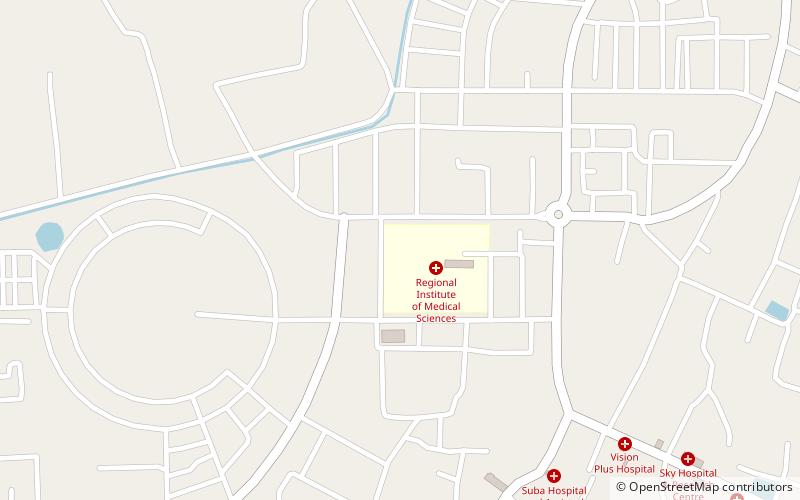
Imphal East district, Imphal
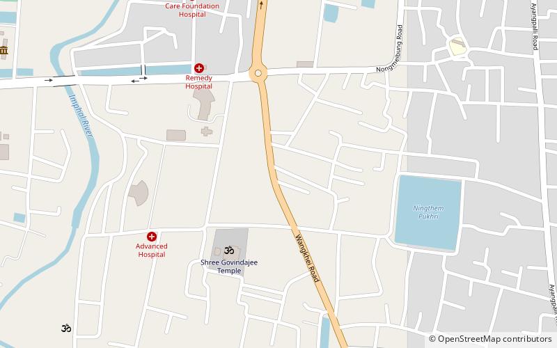
Map
Facts and practical information
Imphal East district is one of the 16 districts of Manipur state in northeastern India. As of 2011, it is the second most populous district in the state, after Imphal West. ()
Getting there by public transportation
Public transportation stops near this location
- Bus
 Bus
Bus
- Calculate routeMoreh shared taxi 17 min walk
- Calculate routeManipur State Transport - Bus to Moreh 18 min walk
- Calculate routeBus to Churachandpur 26 min walk
- Calculate routeBus and Winger to Dimapur and other cities 29 min walk
Day trips


Frequently Asked Questions (FAQ)
How to get to Imphal East district by public transport?
The nearest stations to Imphal East district:
Bus
Bus
- Moreh shared taxi (17 min walk)
- Manipur State Transport - Bus to Moreh (18 min walk)