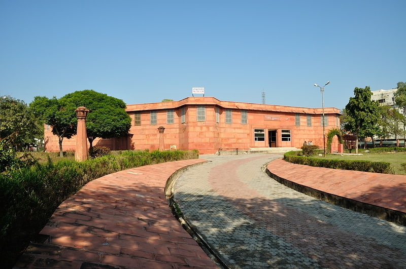
Aram Bagh, Mathura
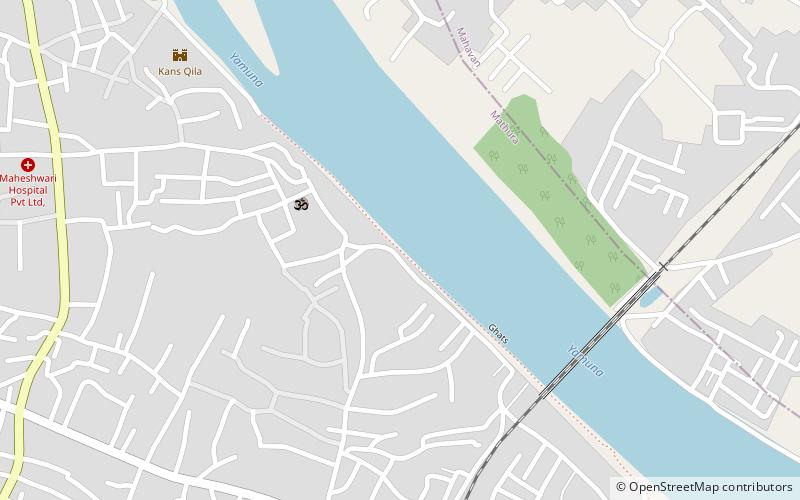
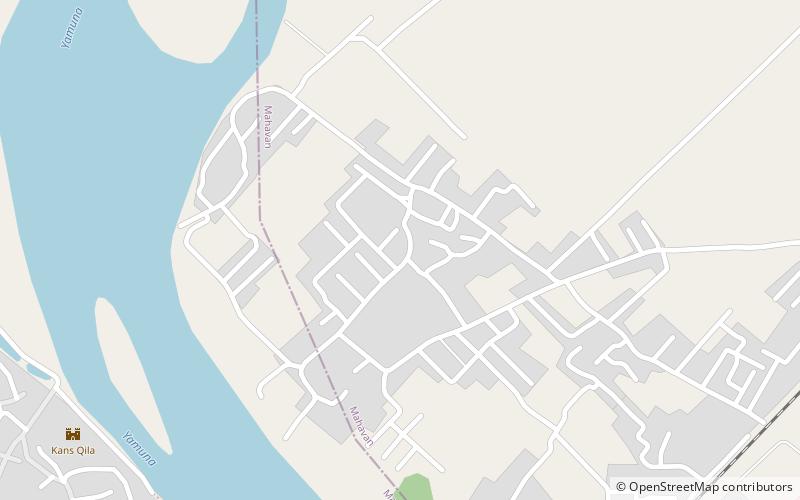
Map
Facts and practical information
Elevation: 558 ft a.s.l.Coordinates: 27°30'15"N, 77°41'13"E
Address
Mathura
ContactAdd
Social media
Add
Getting there by public transportation
Public transportation stops near this location
- Bus
- Train
 Bus
Bus
- Calculate routeMathura Cantonment 24 min walk
- Calculate routeShri Krishna Janam Asthan 25 min walk
- Calculate routeMasani 35 min walk
- Calculate routeNew bus station 30 min walk
Day trips


Frequently Asked Questions (FAQ)
Which popular attractions are close to Aram Bagh?
Nearby attractions include Dwarkadheesh temple Mathura, Mathura (4 min walk), Kans Quila, Mathura (10 min walk), Jama Masjid, Mathura (12 min walk), Yūpa, Mathura (14 min walk).
How to get to Aram Bagh by public transport?
The nearest stations to Aram Bagh:
Train
Bus
Train
- Mathura Cantonment (24 min walk)
- Shri Krishna Janam Asthan (25 min walk)
Bus
- New bus station (30 min walk)