Jama Masjid, Mathura
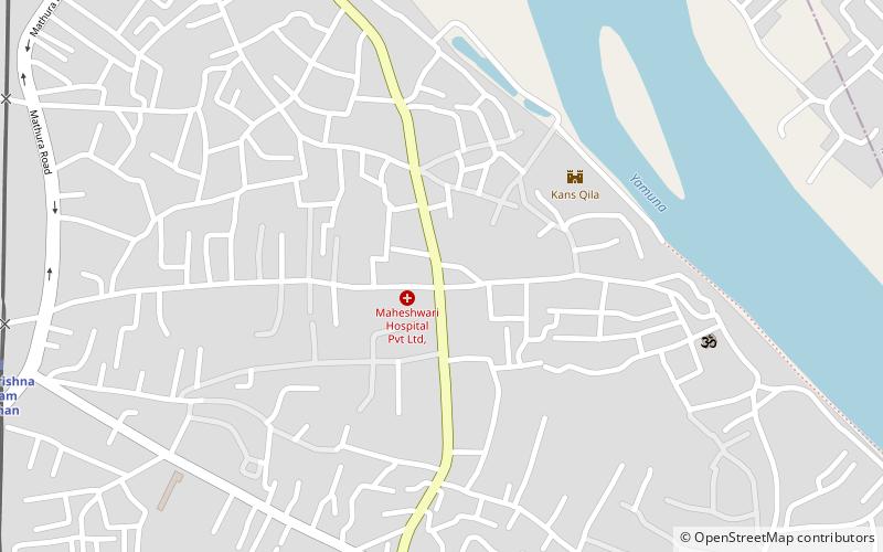
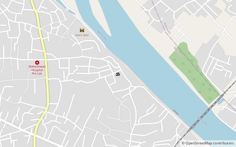
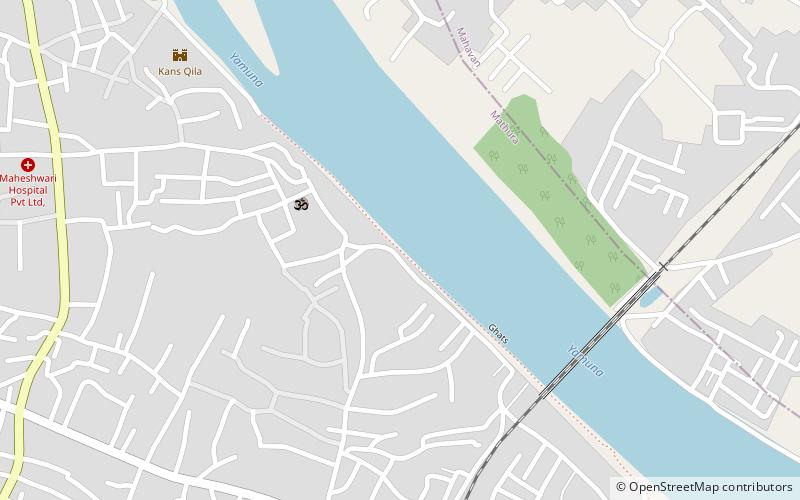
Map
Facts and practical information
The Jama Mosque is a 17th-century congregational mosque in Mathura, Uttar Pradesh, India. It was built by Abd-al-Nabi Khan, governor of Mathura during the reign of Mughal Emperor Aurangzeb. ()
Coordinates: 27°30'23"N, 77°40'47"E
Day trips
Jama Masjid – popular in the area (distance from the attraction)
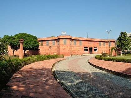
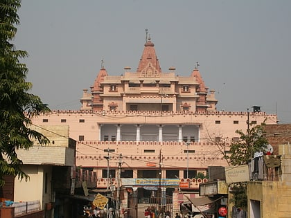
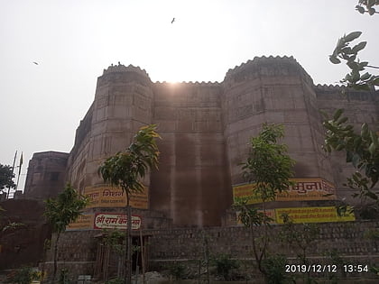
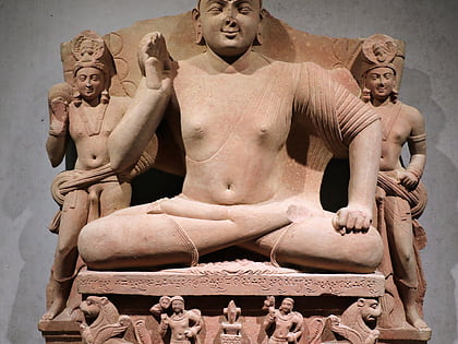
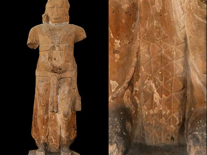
Nearby attractions include: Government Museum, Kesava Deo Temple, Kans Quila, Kimbell seated Bodhisattva.
Frequently Asked Questions (FAQ)
Which popular attractions are close to Jama Masjid?
Nearby attractions include Kans Quila, Mathura (5 min walk), Dwarkadheesh temple Mathura, Mathura (9 min walk), Aram Bagh, Mathura (12 min walk), Kesava Deo Temple, Mathura (16 min walk).
How to get to Jama Masjid by public transport?
The nearest stations to Jama Masjid:
Train
Bus
Train
- Shri Krishna Janam Asthan (14 min walk)
- Bhuteshwar (21 min walk)
Bus
- New bus station (27 min walk)
