Ambamata Temple, Udaipur
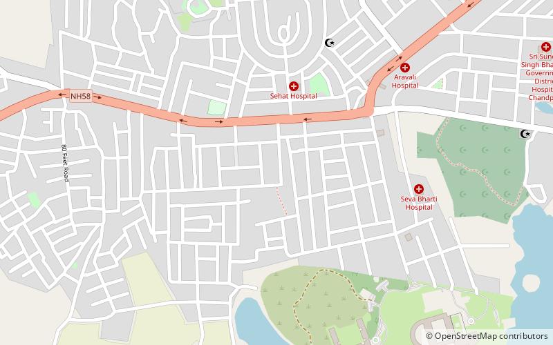
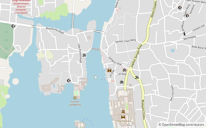
Map
Facts and practical information
Ambamata Temple, a large Hindu temple in the middle of Udaipur in Rajasthan, is considered one of the major places of worship in Udaipur. This temple was constructed by Maharana Raj Singh of Udaipur. It is assumed that he built this temple on the instructions of the goddess Amba Mata in Gujarat. ()
Local name: अम्बामाता मन्दिरCompleted: 1721 (305 years ago)Coordinates: 24°34'55"N, 73°40'0"E
Address
Udaipur
ContactAdd
Social media
Add
Day trips


Frequently Asked Questions (FAQ)
Which popular attractions are close to Ambamata Temple?
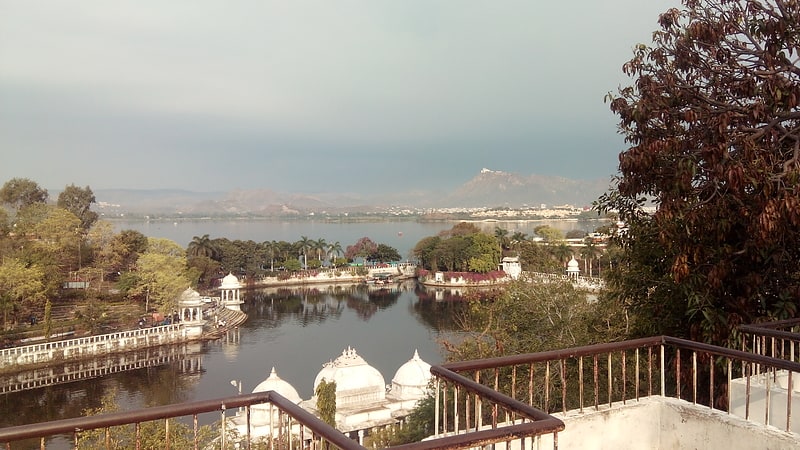
Nearby attractions include Swaroop Sagar Lake, Udaipur (19 min walk), Ambrai Ghat, Udaipur (20 min walk), Pratap Park, Udaipur (23 min walk).