Mithrananthapuram Trimurti Temple, Thiruvananthapuram
Facts and practical information
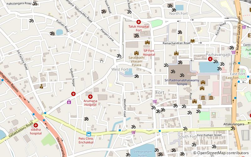
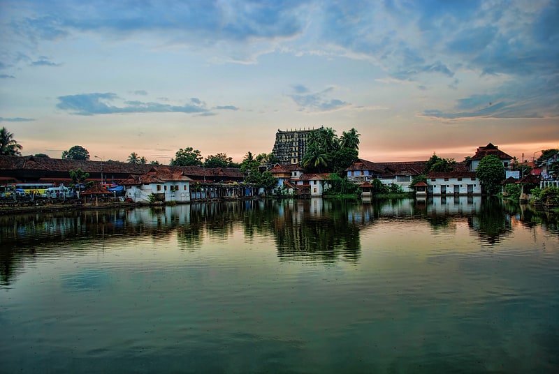
Nestled in the heart of Thiruvananthapuram, the Mithrananthapuram Trimurti Temple stands as a beacon of spiritual heritage and architectural beauty. This ancient Hindu temple, dedicated to the Trimurti—the trinity of Brahma, Vishnu, and Shiva—reflects the deep-seated cultural traditions of Kerala, India.
The temple's origins date back to centuries ago, with its history intertwined with the lore of the city itself. It is a revered site, not just for its religious significance but also for its unique architectural style, which showcases the classic features of Kerala temple construction. The temple's intricate carvings, towering gopuram (gateway tower), and the tranquil temple pond are emblematic of the region's rich temple architecture.
Visitors to the Mithrananthapuram Trimurti Temple are greeted by an atmosphere of serenity and devotion. The temple's sanctum sanctorum houses the deities of the Trimurti, each worshipped in their own right, yet together forming a composite embodiment of the divine. The temple celebrates several festivals with great pomp and fervor, drawing devotees from across the country.
The temple is more than just a place of worship; it is a cultural hub that upholds the traditions of classical music, dance, and religious practices. Throughout the year, the temple premises resonate with the sound of temple bells and chants, providing a peaceful retreat from the bustling city life.
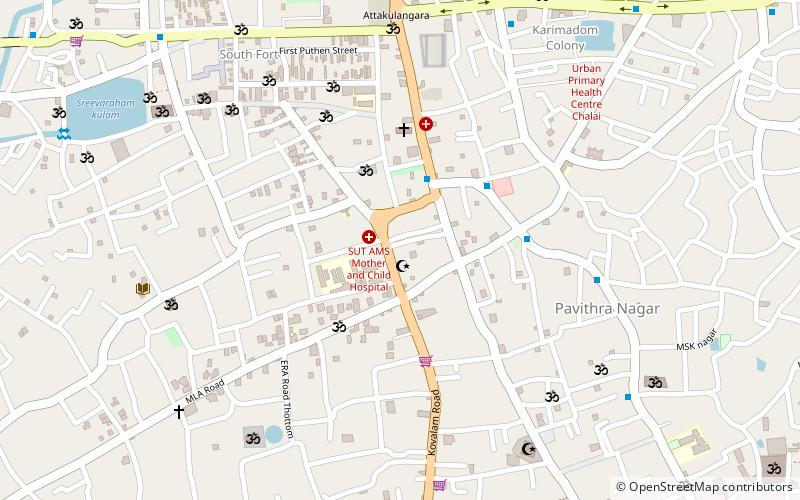
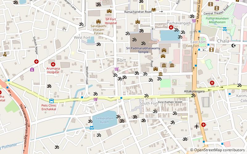
Thiruvananthapuram
- Bus
- Train
 Bus
Bus
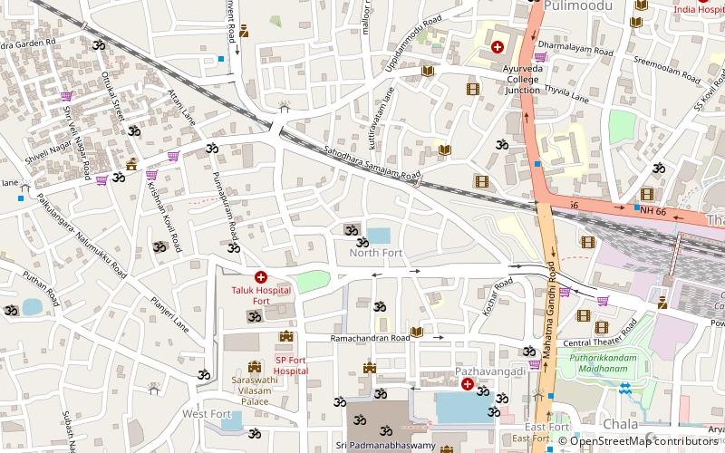
- Calculate routeEnchakkal 8 min walk
- Calculate routeEast Fort 14 min walk
- Calculate routeThampanoor 23 min walk
- Calculate routeGolden Travels Bus Boarding Point 32 min walk
- Calculate routeThiruvananthapuram Central 23 min walk
- Calculate routeThiruvananthapuram Thampanoor Railway Station 24 min walk
- Calculate routeTrivandrum Pettah 27 min walk


Frequently Asked Questions (FAQ)
Which popular attractions are close to Mithrananthapuram Trimurti Temple?
How to get to Mithrananthapuram Trimurti Temple by public transport?
Bus
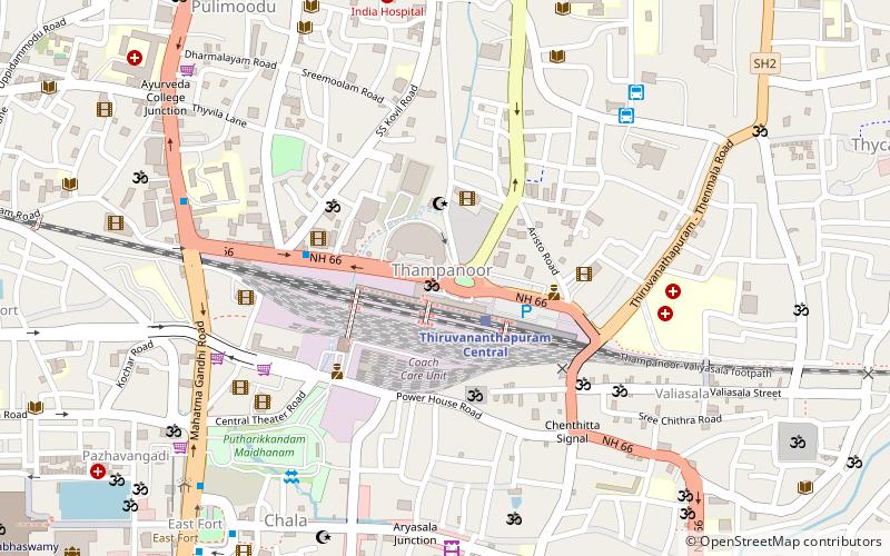
- Enchakkal (8 min walk)
- East Fort • Lines: 111 (14 min walk)
Train
- Thiruvananthapuram Central (23 min walk)
- Thiruvananthapuram Thampanoor Railway Station (24 min walk)