Jowai
Map

Gallery

Facts and practical information
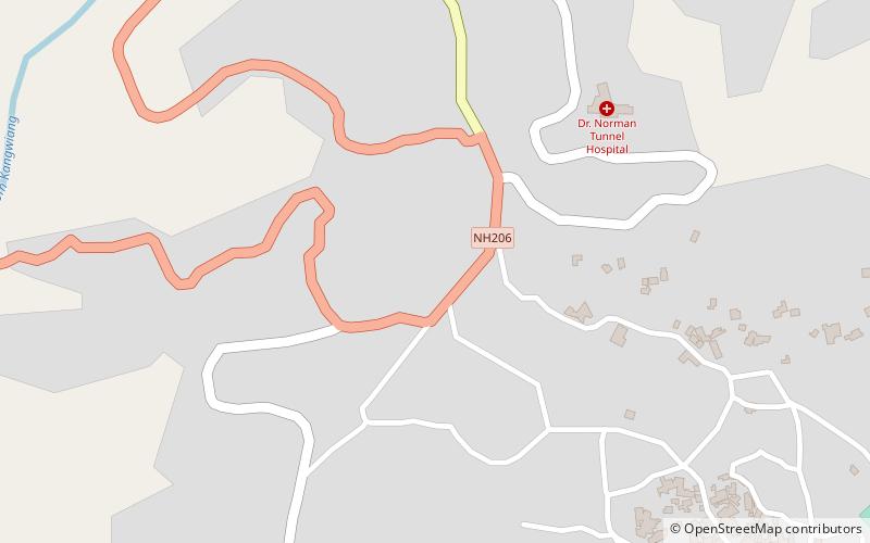
Jowai is the headquarters of the West Jaintia Hills district of the state of Meghalaya, India, and is home to the Pnar, a sub-tribe of the Khasi people. It is located on a plateau surrounded on three sides by the Myntdu river bordering Bangladesh to the south. Due to its high altitude of 1365 m above sea level, Jowai experiences warm summers with cool to chilly winters. ()
Location
Meghalaya
ContactAdd
Social media
Add
Day trips
Jowai – popular in the area (distance from the attraction)
Nearby attractions include: Northeast Adventist University.

