Lataguri
Map

Map

Facts and practical information
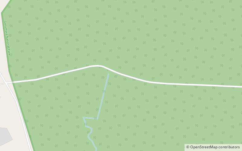
Lataguri is a census town in the Mal CD block in the Malbazar subdivision of the Jalpaiguri district in the Indian state of West Bengal. ()
Coordinates: 26°42'35"N, 88°46'48"E
Day trips
Lataguri – popular in the area (distance from the attraction)
Nearby attractions include: Gorumara National Park.

