Korigad, Lonavala
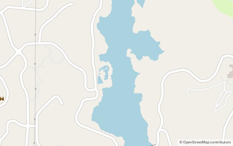
Map
Gallery
Facts and practical information
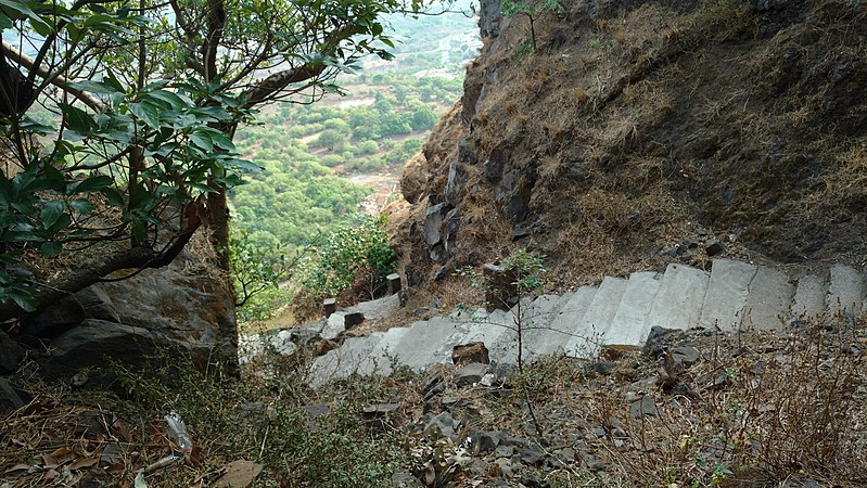
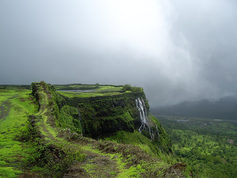
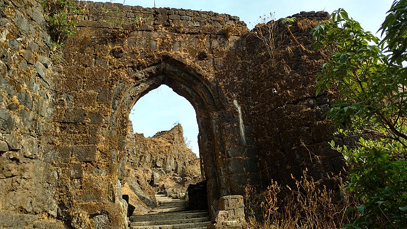
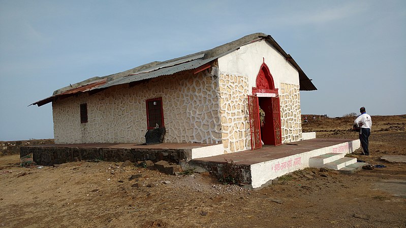
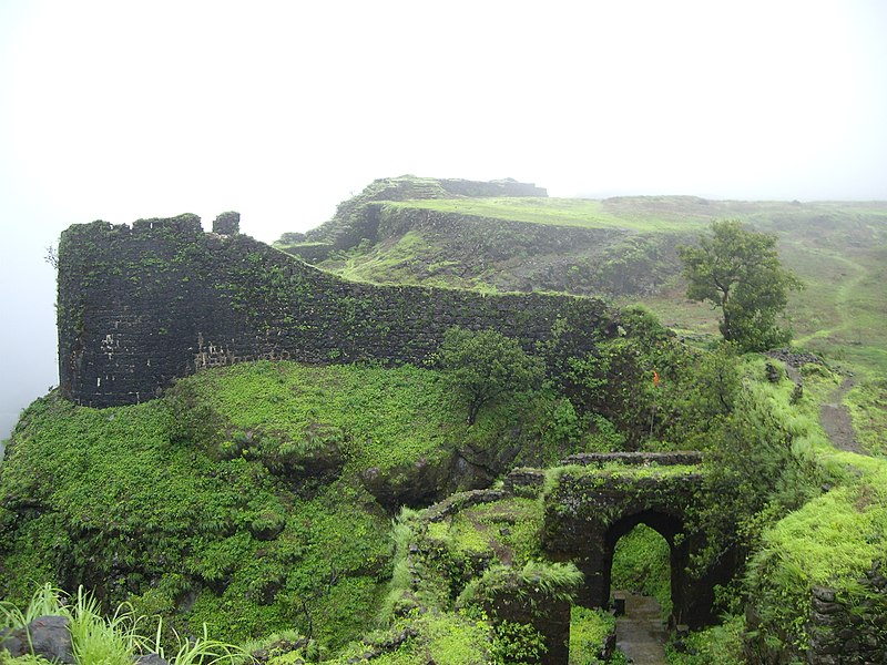
Korigad is a hill fort located about 20 km south of Lonavla in Pune district, Maharashtra, India. Its date of construction is not known but likely predates 1500. It is about 923 m above sea level. The planned township of Aamby Valley is built over the fort's southern and eastern foothills. The closest village is Peth Shahpur, about 1 km north of the fort. ()
Elevation: 3028 ftCoordinates: 18°37'13"N, 73°23'10"E
Address
Amby valleyLonavala
ContactAdd
Social media
Add
Day trips
Korigad – popular in the area (distance from the attraction)
Nearby attractions include: Sudhagad, Tung Fort, Mrugagad, Aamby Valley City.


