Mrugagad
Map
Gallery
Facts and practical information
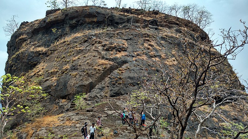
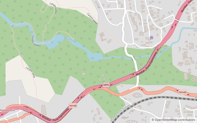
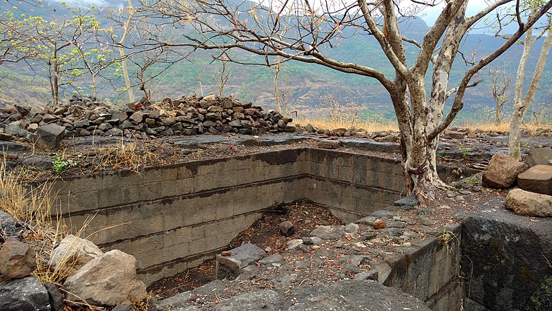
Mrugagad fort is a hill fort in Sudhagad taluka of Raigad district, Maharashtra, India. At a height of 1750 ft, the fort lies near Bheliv village, and is made of stone. The fort is very small in size and is in a form of spur radiating from the Western ghats. The fort is very close to the Lonavala, Khandala and Khopoli. ()
Coordinates: 18°41'20"N, 73°21'52"E
Location
Maharashtra
ContactAdd
Social media
Add
Day trips
Mrugagad – popular in the area (distance from the attraction)
Nearby attractions include: Imagicaa, Bhushi Dam, Korigad, Kune Falls.


