Thandavapura

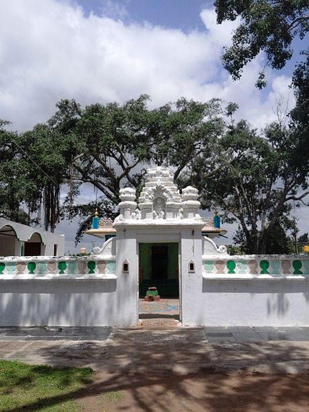
Gallery (3)
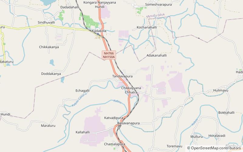
Map
Map
Gallery
Facts and practical information
Thandavapura is a village in the southern state of Karnataka, India. It is located in the Nanjangud taluk of Mysore district in Karnataka. ()
Coordinates: 12°10'4"N, 76°40'38"E
Day trips

