Ainsley Canal, Chennai
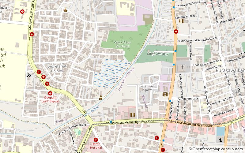
Map
Facts and practical information
Coordinates: 13°5'20"N, 80°14'51"E
Address
Ayanavaram (Maraimalai Adigal Nagar South)Chennai
ContactAdd
Social media
Add
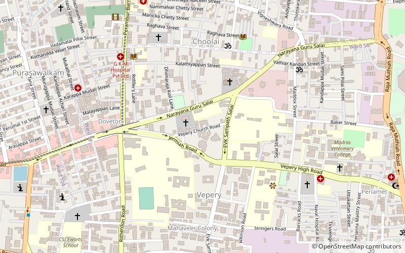
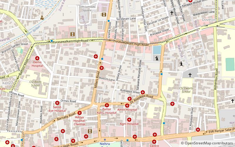
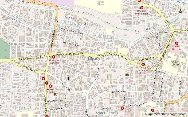
Getting there by public transportation
Public transportation stops near this location
- Metro
- Bus
- Train
 Metro
Metro
- Calculate routeNehru Park 19 min walk
- Calculate routeKilpauk 22 min walk
- Calculate routeEgmore Metro 31 min walk
- Calculate routePachaiyappa's College 35 min walk
- Calculate routeAyanavaram MTC Terminus 20 min walk
- Calculate routeEgmore Railway Station 32 min walk
- Calculate routeChennai Chetpat 27 min walk
- Calculate routeChennai Egmore 30 min walk
Day trips


Frequently Asked Questions (FAQ)
Which popular attractions are close to Ainsley Canal?
Nearby attractions include Purasawalkam, Chennai (8 min walk), Vellala Street, Chennai (12 min walk), Otteri, Ambattur (15 min walk), Doveton, Chennai (19 min walk).
How to get to Ainsley Canal by public transport?
The nearest stations to Ainsley Canal:
Metro
Bus
Train
Metro
- Nehru Park • Lines: 2 (19 min walk)
- Kilpauk • Lines: 2 (22 min walk)
Bus
- Ayanavaram MTC Terminus (20 min walk)
- Egmore Railway Station (32 min walk)
Train
- Chennai Chetpat (27 min walk)
- Chennai Egmore (30 min walk)