Mumbai Harbour, Mumbai
Map
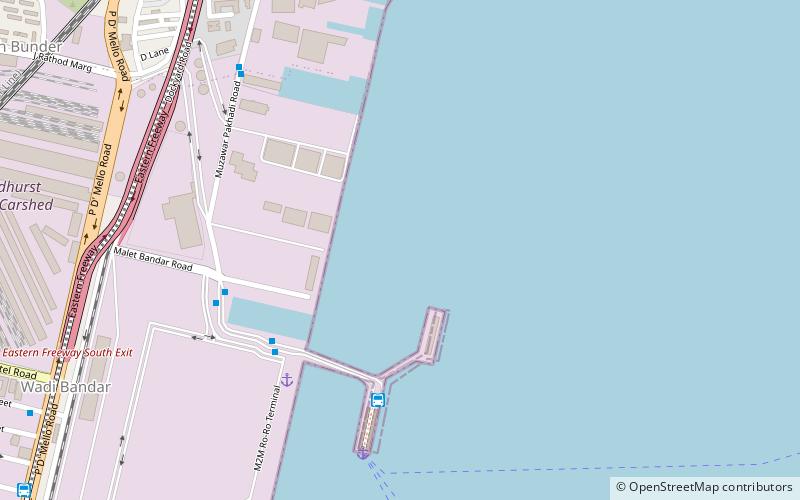
Map

Facts and practical information
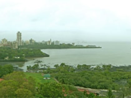
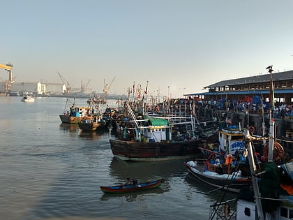
Mumbai Harbour, is a natural deep-water harbour in the southern portion of the Ulhas River estuary. The narrower, northern part of the estuary is called Thana Creek. The harbour opens to the Arabian Sea to the south. The historical island of Elephanta is one of the six islands that lie in the harbour. ()
Address
Mumbai
ContactAdd
Social media
Add
Day trips
Mumbai Harbour – popular in the area (distance from the attraction)
Nearby attractions include: Crawford Market, Bhendi Bazaar, Raudat Tahera, Jumma Masjid.
Frequently Asked Questions (FAQ)
Which popular attractions are close to Mumbai Harbour?
Nearby attractions include Ferry Wharf, Mumbai (7 min walk), Chinatown, Mumbai (13 min walk), Joseph Baptista Gardens, Mumbai (16 min walk), Mazagaon Fort, Mumbai (18 min walk).
How to get to Mumbai Harbour by public transport?
The nearest stations to Mumbai Harbour:
Bus
Train
Bus
- Bhaucha Dhakka / Ferry Wharf (6 min walk)
Train
- Dockyard Road (16 min walk)
- Sandhurst Road (18 min walk)
