Nungambakkam, Chennai
Map
Gallery
Facts and practical information
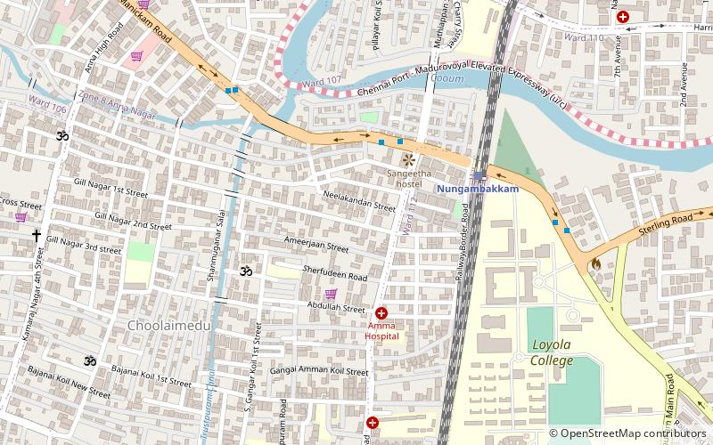
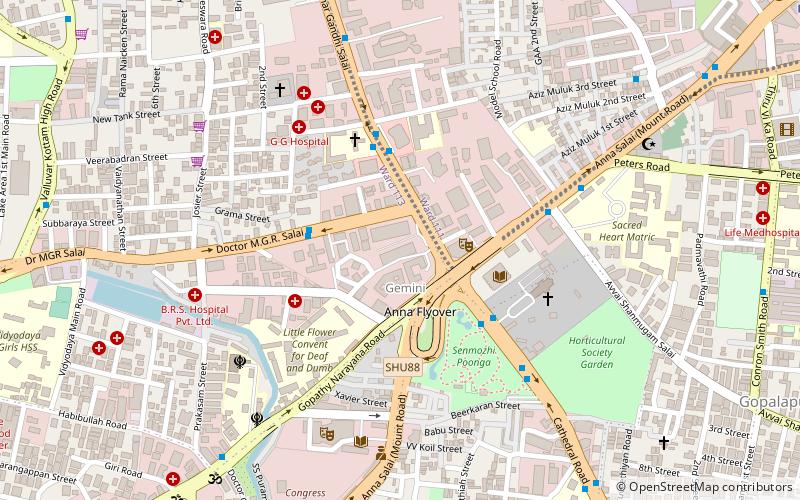
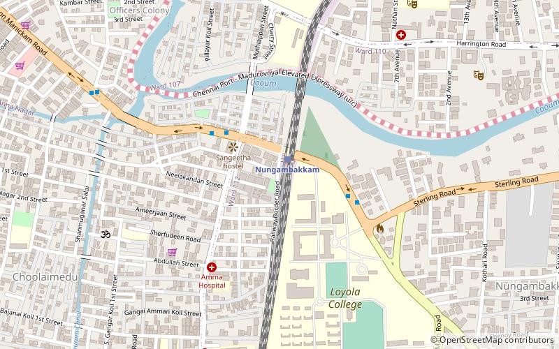
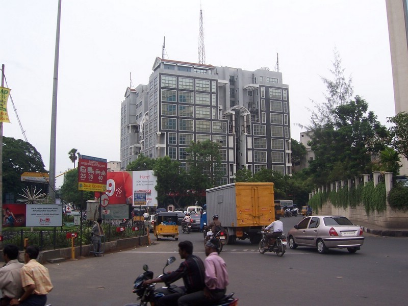
Nungambakkam is a locality in downtown Chennai, India. The neighborhood abounds with multi-national commercial establishments, important government offices, foreign consulates, sprawling educational institutions, shopping malls, sporting facilities, tourist spots, star hotels, restaurants, and cultural centers. Nungambakkam is also a prime residential area in Chennai. The adjoining regions of Nungambakkam include Egmore, Chetpet, T. Nagar, Kodambakkam, Choolaimedu and Kilpauk. ()
Coordinates: 13°3'55"N, 80°13'57"E
Day trips
Nungambakkam – popular in the area (distance from the attraction)
Nearby attractions include: Ampa Skywalk, Valluvar Kottam, Anna Nagar Arch, Kodambakkam Bridge.
Frequently Asked Questions (FAQ)
Which popular attractions are close to Nungambakkam?
Nearby attractions include Masjid e Mahmood, Ambattur (5 min walk), Sir Mutha Venkatasubba Rao Concert Hall, Chennai (12 min walk), Choolaimedu, Ambattur (14 min walk), Trustpuram, Ambattur (16 min walk).
How to get to Nungambakkam by public transport?
The nearest stations to Nungambakkam:
Train
Bus
Metro
Train
- Nungambakkam (1 min walk)
- Chennai Chetpat (24 min walk)
Bus
- Choolaimedu • Lines: 147C (4 min walk)
- Loyola College Bus Stop • Lines: 147C (5 min walk)
Metro
- Pachaiyappa's College • Lines: 2 (18 min walk)
- Shenoy Nagar • Lines: 2 (27 min walk)


