Nanda Kot
Map

Map

Facts and practical information
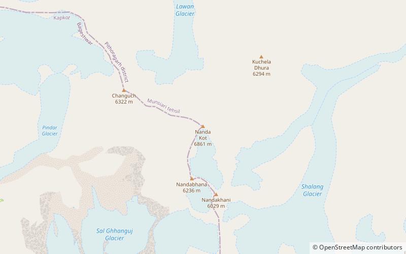
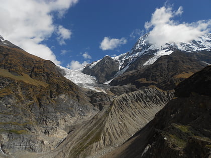
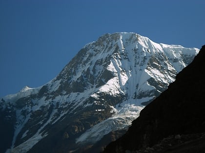
Nanda Kot is a mountain peak of the Himalaya range located in the Pithoragarh district of Uttarakhand state in India. It lies in the Kumaon Himalaya, just outside the ring of peaks enclosing the Nanda Devi Sanctuary, 15 kilometres southeast of Nanda Devi itself. The name Nanda Kot literally means "Nanda's Fortress" and refers to the abode of one of the sacred forms of the Hindu Goddess Parvati who in legend has made her sanctuary amongst the ring of lofty mountains in the region. ()
Alternative names: First ascent: 1936Elevation: 22510 ftProminence: 5223 ftCoordinates: 30°16'51"N, 80°4'0"E
Location
Uttarakhand
ContactAdd
Social media
Add
Day trips
Nanda Kot – popular in the area (distance from the attraction)
Nearby attractions include: Pindari Glacier, Kafni Glacier, Nanda Khat, Changuch.


