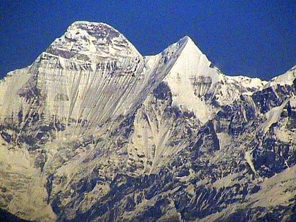
Changuch
Map
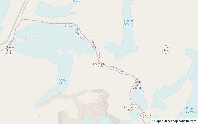
Map

Facts and practical information
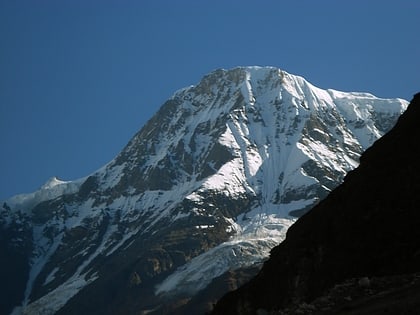
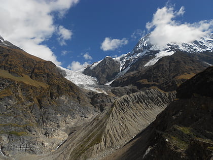
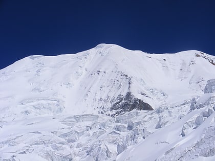
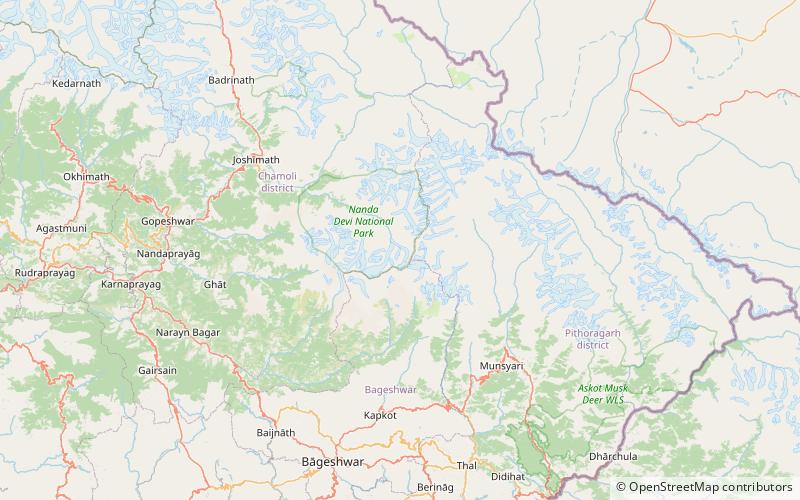
Changuch is a Himalayan mountain peak situated at the boundary of Pithoragarh and Bageshwar district of the Uttarakhand state of India. This peak is situated above the Pindari Glacier. This peak offers a ridge leading to Nanda Kot. On its massif Traill's pass is situated, which connects Pindari valley to Goriganga valley. The first successful ascent to the peak was made by an Indo-British team on 9 June 2009 at 9 am. ()
First ascent: 2009Elevation: 20741 ftCoordinates: 30°17'28"N, 80°2'25"E
Location
Uttarakhand
ContactAdd
Social media
Add
Day trips
Changuch – popular in the area (distance from the attraction)
Nearby attractions include: Pindari Glacier, Kafni Glacier, Nanda Khat, Nanda Kot.
