North Eastern Indira Gandhi Regional Institute of Health and Medical Sciences
Facts and practical information
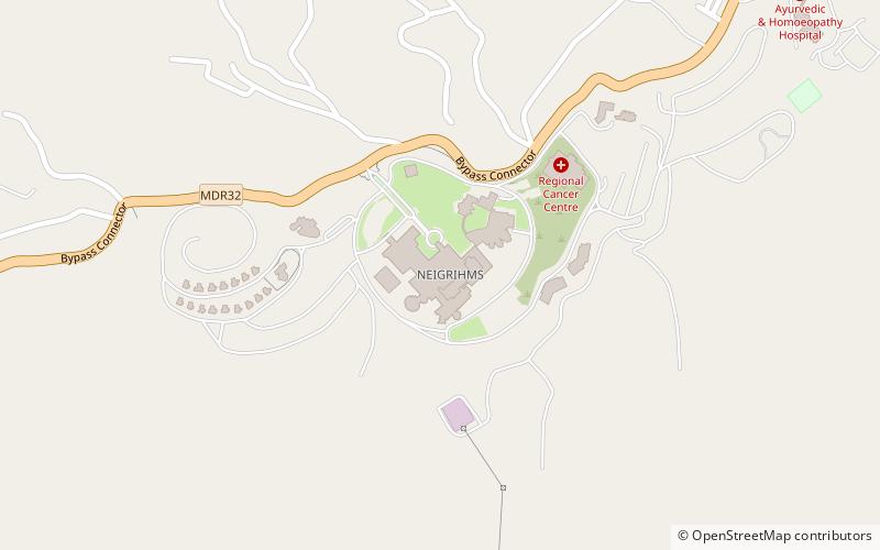
North Eastern Indira Gandhi Regional Institute of Health and Medical Sciences is a medical institute of India in Shillong, Meghalaya. It is located on the outskirts of the educational hub hills City of the Northeastern India, Shillong, the "Scotland of the East". The present full-fledged tertiary care hospital facilities started at its permanent campus at Mawdiangdiang, Shillong in the year 2007. It is an Autonomous Institute under the Ministry of Health and Family Welfare, Govt. of India in 1987 and declared as "Centre of excellence" by the parliament of India. The MBBS teaching programme of NEIGRIHMS started in 2008 with intake of 50 students, followed by Post graduate courses in the following 4 subjects - Anaesthesiology, Microbiology, Obstetrics & Gynaecology and Pathology in the year 2009. Further PG courses have been started in the following subjects - Anatomy, General Medicine, General Surgery and Radiodiagnosis and Imaging. The Institute also offers DM course in Cardiology. Besides, there is B. Sc Nursing and M. Sc Nursing courses being run by the Institute's College of Nursing.The College of Nursing started its courses from the year 2006. ()