Shillong Peak, Shillong
Gallery (1)
Map
Map
Facts and practical information
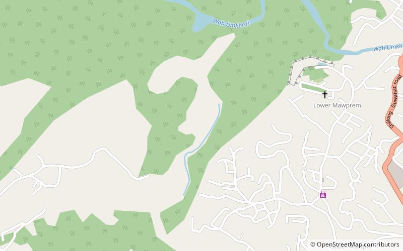
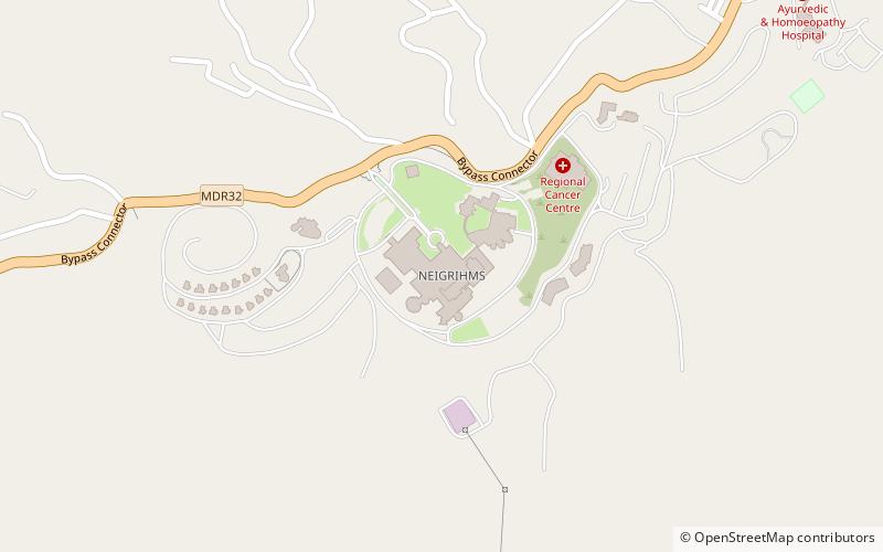
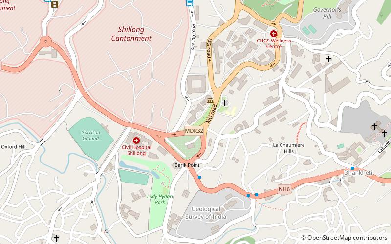
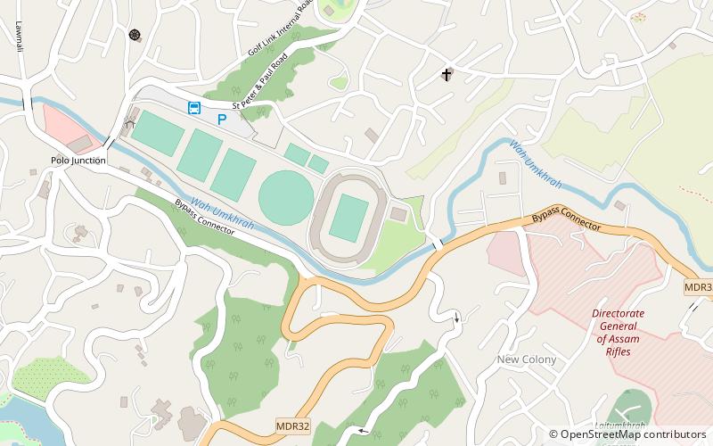
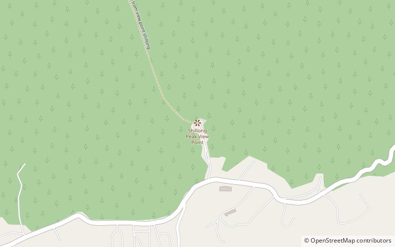
Shillong Peak is a place located in Shillong (Meghalaya state) and belongs to the category of mountain, park, view point.
It is situated at an altitude of 6283 feet, and its geographical coordinates are 25°32'51"N latitude and 91°52'30"E longitude.
Among other places and attractions worth visiting in the area are: Martin Luther Christian University (universities and schools, 40 min walk), Mary Help of Christians Cathedral (church, 46 min walk), Jawaharlal Nehru Stadium (sport, 66 min walk).
Elevation: 6283 ft a.s.l.Coordinates: 25°32'51"N, 91°52'30"E
Address
Shillong
ContactAdd
Social media
Add
Day trips