Sahibabad, Ghaziabad
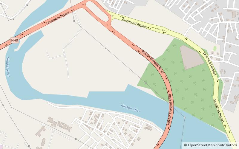
Map
Facts and practical information
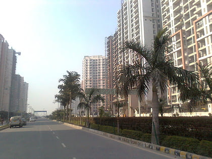
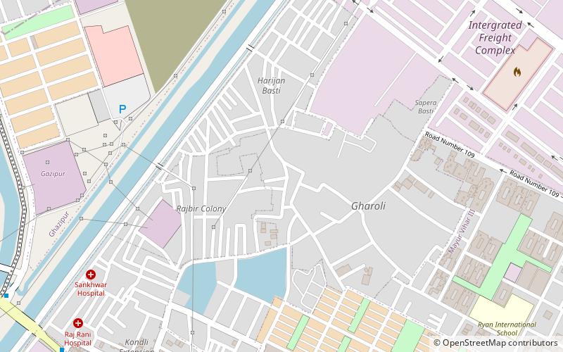
Sahibabad is the name for a group of industrial, residential and commercial areas within the jurisdiction of Ghaziabad Municipal Corporation in Ghaziabad District of Uttar Pradesh, India. It touches the borders of Delhi, Noida and City Zone of Ghaziabad and constitutes a part of the Delhi National Capital Region. ()
Coordinates: 28°40'60"N, 77°24'0"E
Address
Ghaziabad
ContactAdd
Social media
Add
Day trips
Sahibabad – popular in the area (distance from the attraction)
Nearby attractions include: Gaur Central Mall, Crossings Republik, Dilshad Garden, Indirapuram.
Frequently Asked Questions (FAQ)
How to get to Sahibabad by public transport?
The nearest stations to Sahibabad:
Metro
Bus
Metro
- Arthala • Lines: Red Line (17 min walk)
- Hindon River • Lines: Red Line (21 min walk)
Bus
- Mohan Nagar Bus Depot (32 min walk)
- Ghaziabad Bus Stand (35 min walk)

