Indirapuram, Ghaziabad
Map
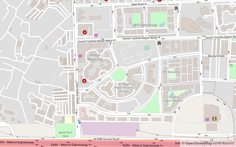
Map

Facts and practical information
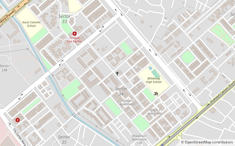
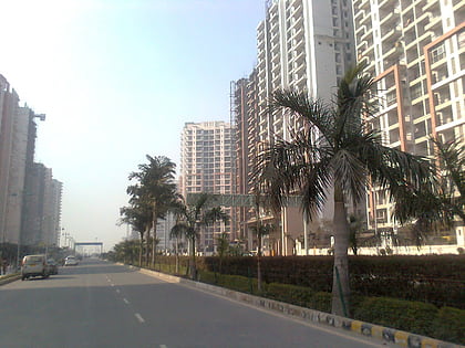
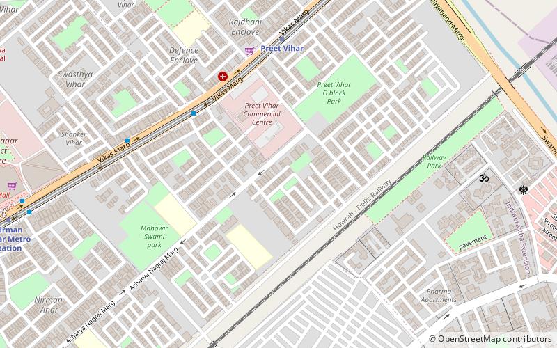
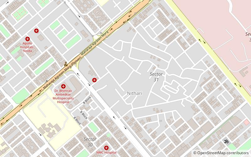
Indirapuram is an established residential locality in Ghaziabad, divided into various khands such as Vaibhav Khand, Abhay Khand, Ahinsa Khand, Nyay Khand, Gyan Khand, Niti Khand and Shakti Khand. In this area the population consists in large part of members of the brahmin community. Situated along Delhi-Meerut Expressway, the locality is surrounded by prominent areas of Vasundhara, Pratap Vihar, Vaishali as well as Noida Sectors 62 & 63. ()
Coordinates: 28°38'12"N, 77°21'47"E
Address
Ghaziabad
ContactAdd
Social media
Add
Day trips
Indirapuram – popular in the area (distance from the attraction)
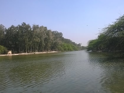
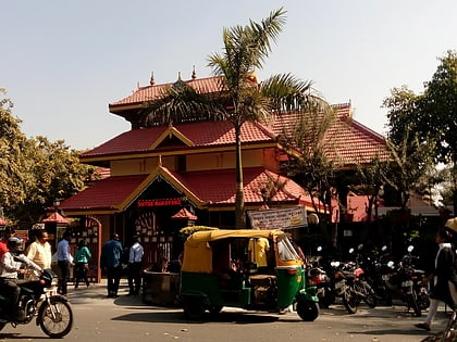
Nearby attractions include: Spice World Mall, Sanjay Lake, St. Mary's Church, The Great India Place.
Frequently Asked Questions (FAQ)
How to get to Indirapuram by public transport?
The nearest stations to Indirapuram:
Bus
Metro
Bus
- Sector 62 • Lines: 323, 392, 492 (27 min walk)
- Rasoolpur Village • Lines: 392, 492 (28 min walk)
Metro
- Noida Electronic City • Lines: Blue Line (24 min walk)


