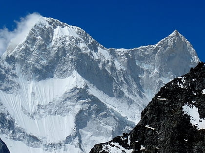
Rishi Pahar, Nanda Devi and Valley of Flowers National Parks
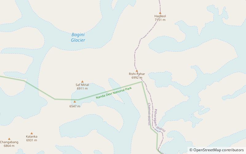
Map
Facts and practical information
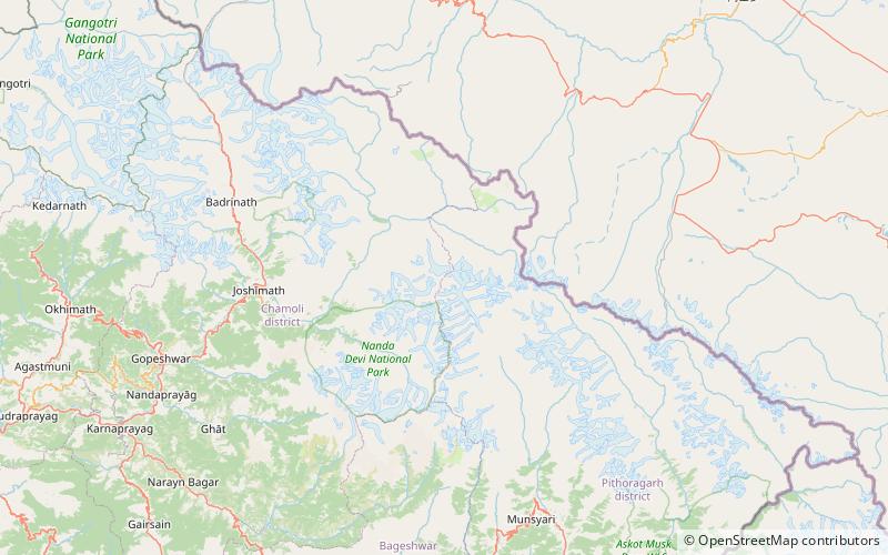
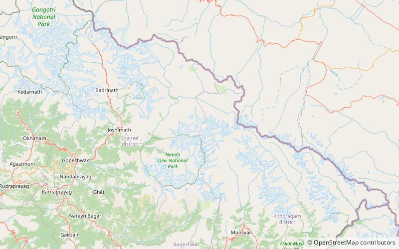
Rishi Pahar is a Himalayan mountain peak, located in the Pithoragarh district of Uttarakhand state in India. It lies at the northeast corner of the ring of peaks surrounding the Nanda Devi Sanctuary, and on the eastern rim of the Nanda Devi Biosphere Reserve, just south of Trishuli and Hardeol. The Milam Glacier lies on its east flank. It marks the triple divide between the Milam, Dunagiri, and Uttari Rishi Ganga valleys. Rishi Pahar means 'The Peak of Saint' in Hindi. ()
First ascent: 1975Elevation: 22940 ftProminence: 2133 ftCoordinates: 30°31'48"N, 79°59'25"E
Address
Nanda Devi and Valley of Flowers National Parks
ContactAdd
Social media
Add
Day trips
Rishi Pahar – popular in the area (distance from the attraction)
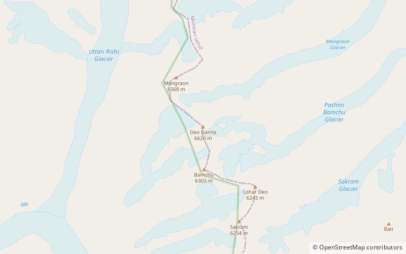
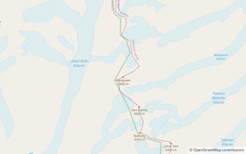
Nearby attractions include: Tirsuli, Deo Damla, Mangraon, Hardeol.
