Tirsuli

Map
Facts and practical information
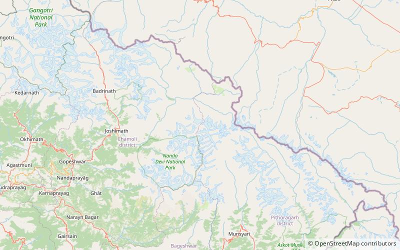
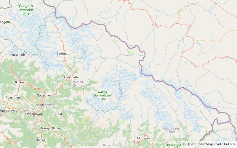
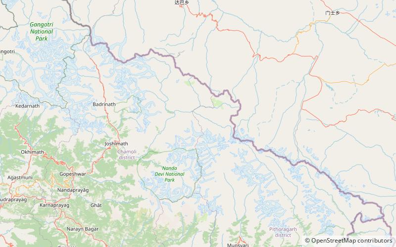
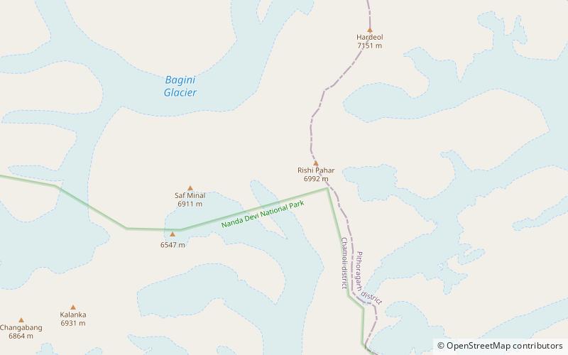
Tirsuli is a Himalayan mountain peak in the Pithoragarh district of Uttarakhand, India. It is part of the complex of mountains, including Tirsuli West, Hardeol, Dunagiri, Changabang, and Kalanka, which make up the northeast wall of the Nanda Devi Sanctuary, in the Garhwal Himalaya. It rises at the northern end of the Johar Valley, which drains into the Gori Ganga. This peak should not be confused with nearby Trisul, which is on the southwest side of the Sanctuary. ()
Alternative names: First ascent: 1966Elevation: 23209 ftProminence: 2047 ftCoordinates: 30°34'56"N, 80°1'12"E
Location
Uttarakhand
ContactAdd
Social media
Add
Day trips
Tirsuli – popular in the area (distance from the attraction)
Nearby attractions include: Hardeol, Tirsuli West, Uja Tirche, Rishi Pahar.


