Paithalmala, Western Ghats
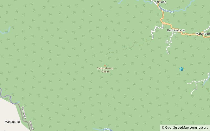
Map
Gallery
Facts and practical information
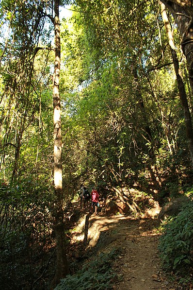
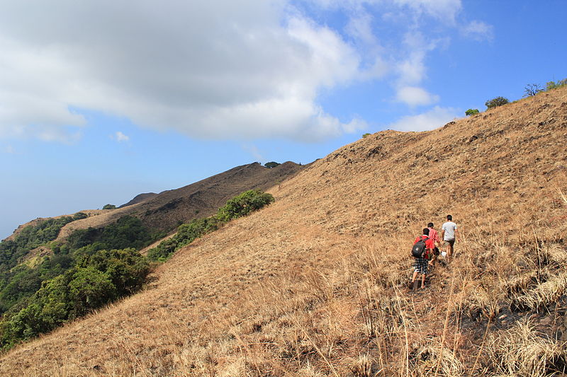
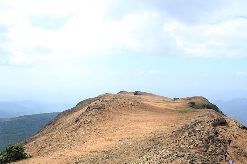
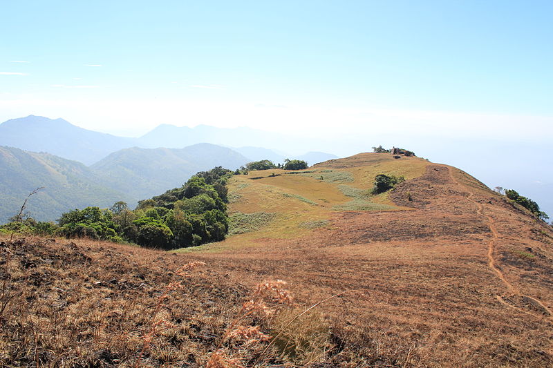
Paithalmala is a hill station in the Kannur district of Kerala in India. Located near Pottenplave village, at a height of 1372 m above sea level, this is the highest geographic peak in Kannur. It is located at 40 km from Taliparamba and 65 km from Kannur. Nestled in the Kerala Karnataka border near to Kodagu forests, it lies in the Western Ghats. It has become a favourite spot for the nature enthusiasts, photographers, trekkers and leisurely visitors. ()
Elevation: 4500 ftCoordinates: 12°11'34"N, 75°35'10"E
Address
Western Ghats
ContactAdd
Social media
Add
Day trips
Paithalmala – popular in the area (distance from the attraction)
Nearby attractions include: Igguthappa, Tadiandamol Mountain.


