Tadiandamol Mountain, Western Ghats
Map
Facts and practical information
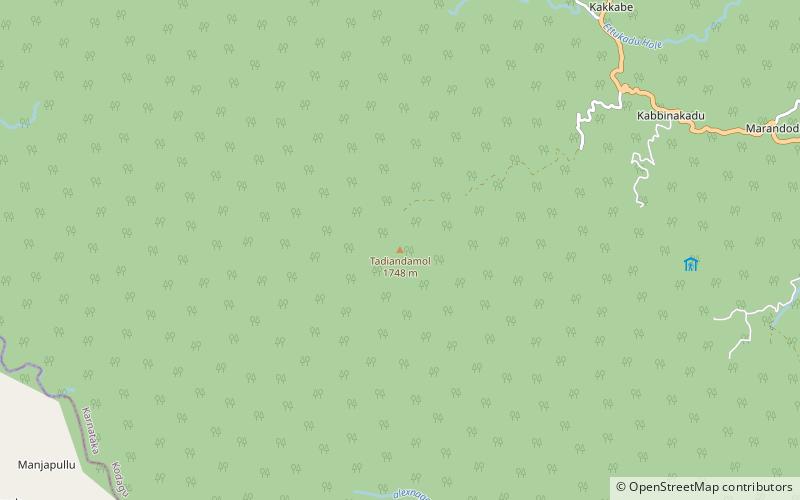
Tadiandamol or Thadiyandamol is the highest mountain of Madikeri taluk Kodagu district, Karnataka, India. It is the third highest peak in Karnataka, after Mullayyanagiri & Kudremukha. It is located Western Ghats range, and reaches an elevation of 1,748 m. The mountain has patches of shola forests in the valleys. ()
Elevation: 5735 ftCoordinates: 12°13'3"N, 75°36'32"E
Address
Western Ghats
ContactAdd
Social media
Add
Day trips


