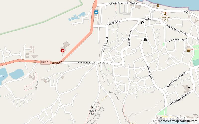
Zampa Gateway, Diu
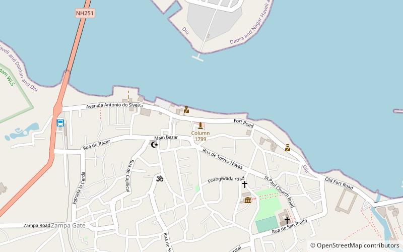
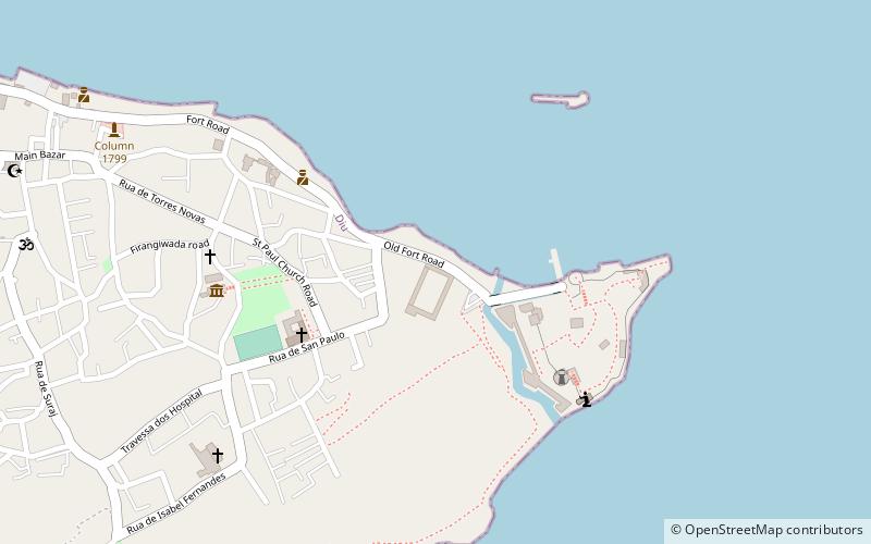
Map
Facts and practical information
Zampa Gateway is a place located in Diu (Daman and Diu union territory) and belongs to the category of city gate.
It is situated at an altitude of 43 feet, and its geographical coordinates are 20°42'53"N latitude and 70°58'53"E longitude.
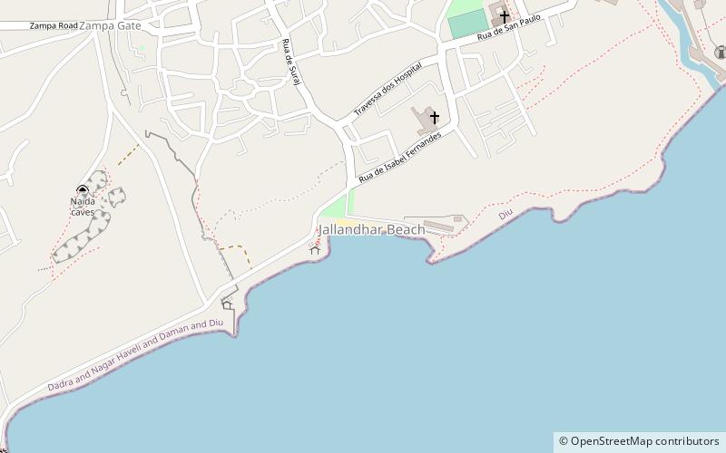
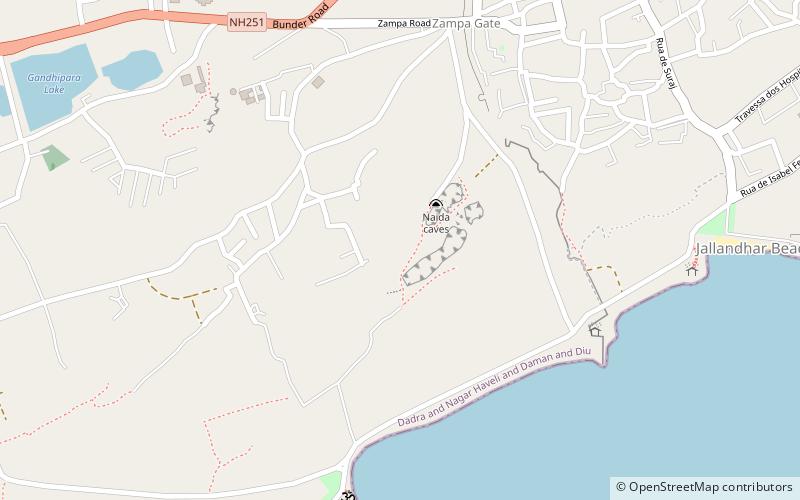
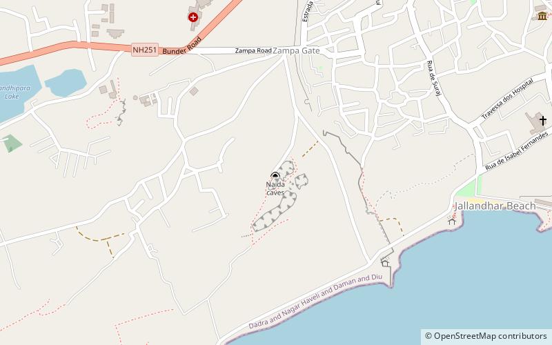
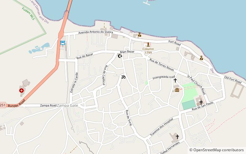
Among other places and attractions worth visiting in the area are: Naida Caves (nature, 7 min walk), Shri Krishna Pramani Sampradaya Temple (temple, 8 min walk), Diu district (neighbourhood, 9 min walk).
Coordinates: 20°42'53"N, 70°58'53"E
Address
Diu
ContactAdd
Social media
Add
Day trips
Frequently Asked Questions (FAQ)
Which popular attractions are close to Zampa Gateway?
Nearby attractions include Naida Caves, Diu (7 min walk), Shri Krishna Pramani Sampradaya Temple, Diu (8 min walk), Diu district, Diu (9 min walk), Column 1799, Diu (12 min walk).