Manesar, Delhi
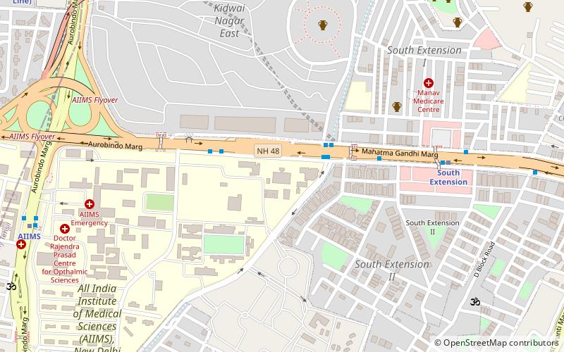
Map
Map

Facts and practical information
Manesar is a town and municipal corporation in the Gurgaon district of the state of Haryana, India and a part of the National Capital Region of Delhi. It is an industrial hub. ()
Day trips
Manesar – popular in the area (distance from the attraction)
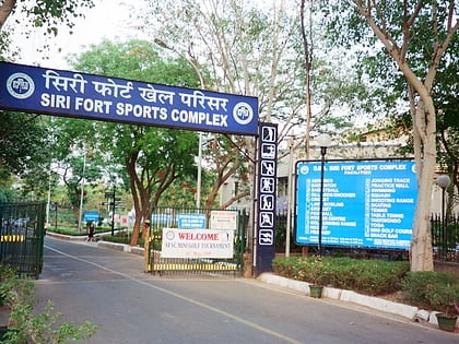
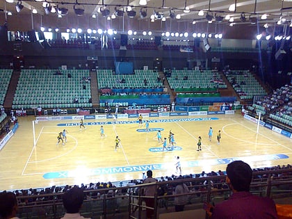
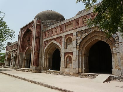
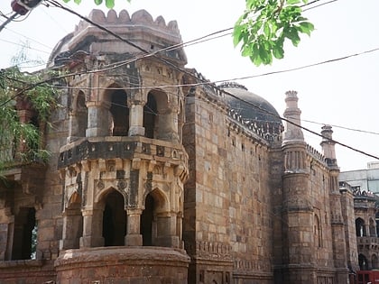
Nearby attractions include: Ansal Plaza, Siri Fort Sports Complex, Thyagaraj Sports Complex, Jamali Kamali Mosque and Tomb.
Frequently Asked Questions (FAQ)
Which popular attractions are close to Manesar?
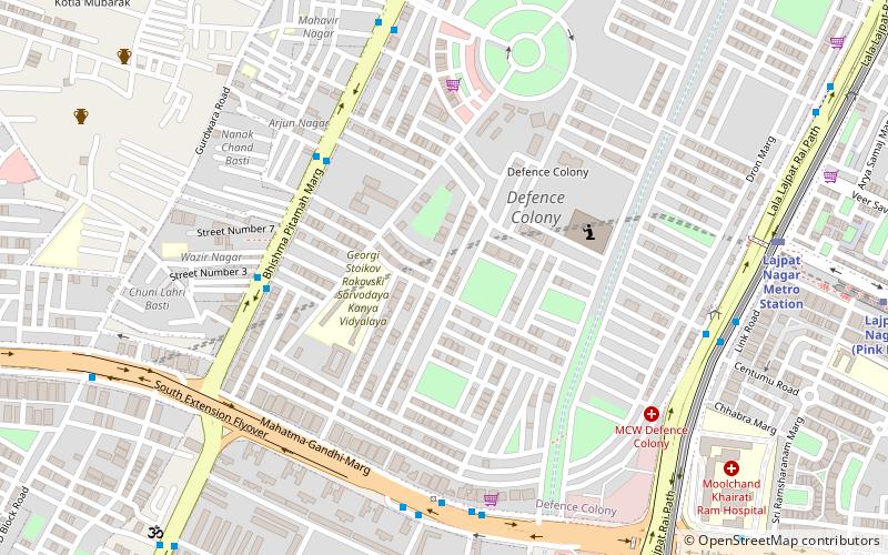
Nearby attractions include St. Luke's Church, Delhi (4 min walk), Defence Colony, Delhi (5 min walk), South Extension, Delhi (15 min walk), Vikram Vihar, Delhi (16 min walk).
How to get to Manesar by public transport?
The nearest stations to Manesar:
Bus
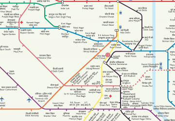
Metro
Train
Bus
- Defence Colony • Lines: 440, 450, 47A, 48, 521, 522, 623 (6 min walk)
- PT College • Lines: 440, 450, 47A, 521, 623 (6 min walk)
Metro
- Lajpat Nagar • Lines: Pink Line, Violet Line (14 min walk)
- Moolchand • Lines: Violet Line (12 min walk)
Train
- Sewa Nagar (17 min walk)
- Lodhi Colony (27 min walk)

 Metro
Metro
