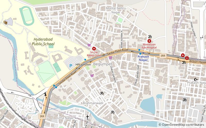
Begumpet, Hyderabad
Facts and practical information
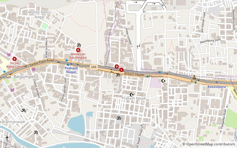
Begumpet is a place located in Hyderabad (Telangana state) and belongs to the category of neighbourhood.
It is situated at an altitude of 1742 feet, and its geographical coordinates are 17°26'38"N latitude and 78°27'45"E longitude.
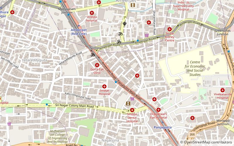
Planning a visit to this place, one can easily and conveniently get there by public transportation. Begumpet is a short distance from the following public transport stations: Prakash Nagar (metro, 6 min walk), Begumpet (train, 12 min walk), Sanath Nagar Bus Depot (bus, 32 min walk).
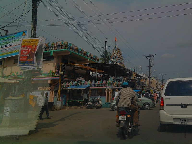
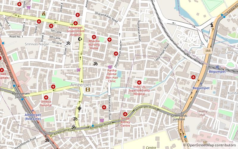
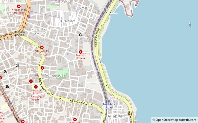
Among other places and attractions worth visiting in the area are: The Hyderabad Public School (universities and schools, 9 min walk), Maisamma Temple (temple, 12 min walk), Begumpet (neighbourhood, 12 min walk).
Secunderabad Division (Begumpet)Hyderabad
- Metro
- Bus
- Train
 Metro
Metro
- Calculate routePrakash Nagar 6 min walk
- Calculate routeBegumpet 15 min walk
- Calculate routeRasoolpura 24 min walk
- Calculate routePanjagutta 33 min walk
- Calculate routeBegumpet 12 min walk
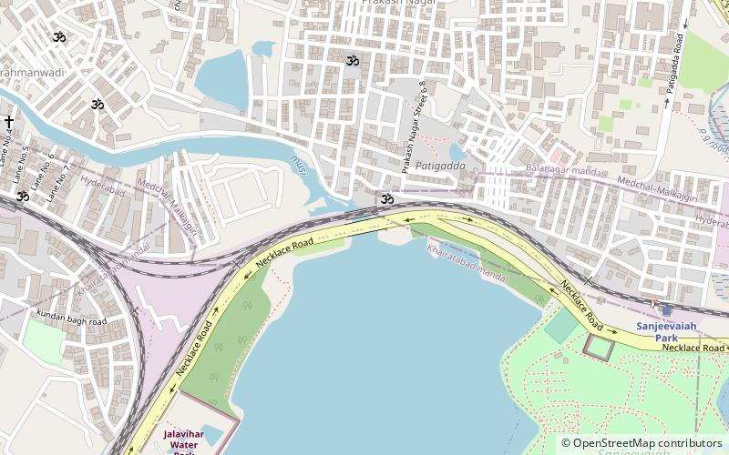
- Calculate routeNature Cure Hospital 18 min walk
- Calculate routeSanjeevaiah Park 29 min walk
- Calculate routeFateh Nagar 31 min walk
- Calculate routeSanath Nagar Bus Depot 32 min walk


Frequently Asked Questions (FAQ)
Which popular attractions are close to Begumpet?
How to get to Begumpet by public transport?
Metro
- Prakash Nagar • Lines: 3 (6 min walk)
- Begumpet • Lines: 3 (15 min walk)
Train
- Begumpet (12 min walk)
- Nature Cure Hospital (18 min walk)
Bus
- Sanath Nagar Bus Depot (32 min walk)