Karmanghat, Hyderabad
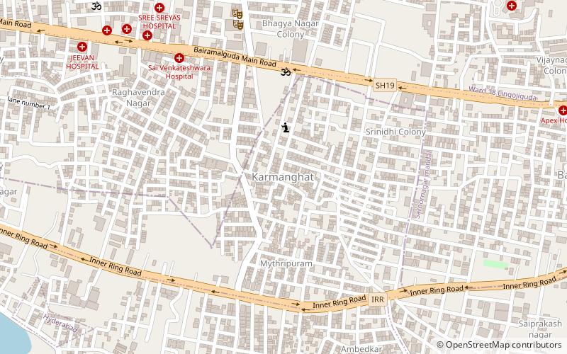
Map
Facts and practical information
Karmanghat is a place located in Hyderabad (Telangana state) and belongs to the category of neighbourhood.
It is situated at an altitude of 1667 feet, and its geographical coordinates are 17°20'28"N latitude and 78°31'59"E longitude.
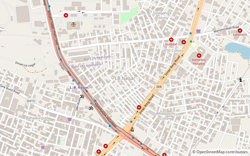
Planning a visit to this place, one can easily and conveniently get there by public transportation. Karmanghat is a short distance from the following public transport stations: Emlibun (bus, 16 min walk), L. B. Nagar (metro, 30 min walk).
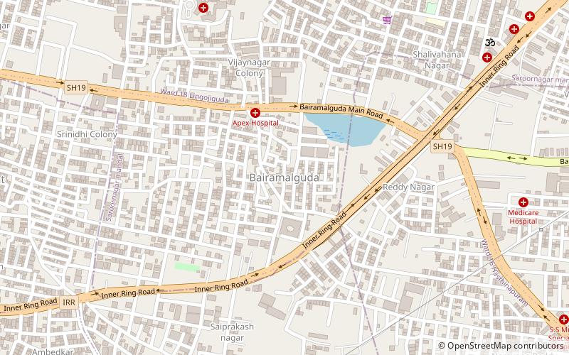
Among other places and attractions worth visiting in the area are: Bairamalguda (neighbourhood, 16 min walk), Saroornagar Lake (nature, 27 min walk), Saroornagar Indoor Arena (sport, 30 min walk).
Coordinates: 17°20'28"N, 78°31'59"E
Address
L.B. Nagar - Gaddiannaram (Karmanghat)Hyderabad
ContactAdd
Social media
Add
Getting there by public transportation
Public transportation stops near this location
- Metro
- Bus
 Metro
Metro
- Calculate routeEmlibun 16 min walk
- Calculate routeLB Nagar 30 min walk
- Calculate routeL. B. Nagar 30 min walk
Day trips


Frequently Asked Questions (FAQ)
How to get to Karmanghat by public transport?
The nearest stations to Karmanghat:
Bus
Metro
Bus
- Emlibun (16 min walk)
- LB Nagar • Lines: 201K (30 min walk)
Metro
- L. B. Nagar • Lines: Red Line (30 min walk)