Champapet
Map
Facts and practical information
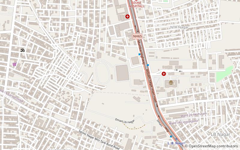
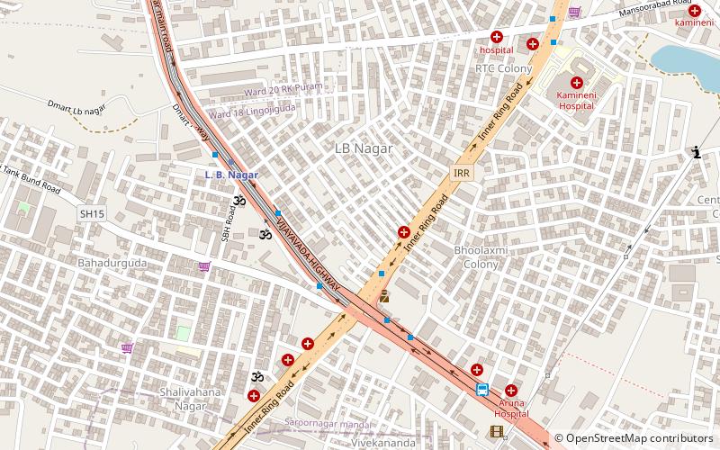
Champapet is a residential neighbourhood of Hyderabad, India. It is known for its many function halls. This was a small village until the 1990s, but has grown due to its proximity to the city. It is administered as Ward No. 17 of Greater Hyderabad Municipal Corporation. ()
Coordinates: 17°20'54"N, 78°33'4"E
Location
Telangana
ContactAdd
Social media
Add
Day trips
Champapet – popular in the area (distance from the attraction)
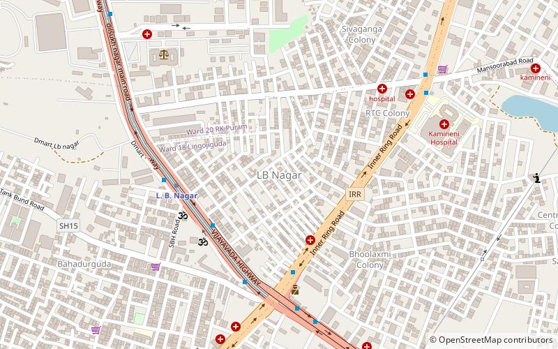
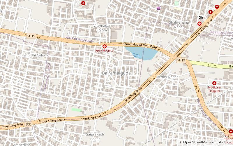
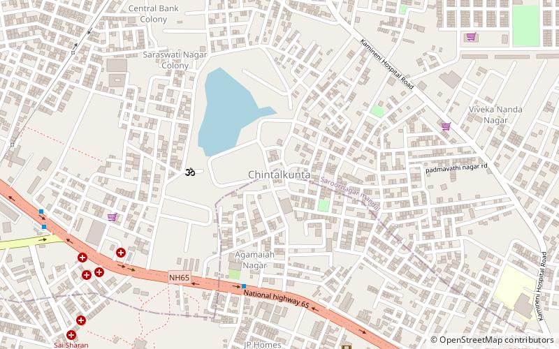
Nearby attractions include: L. B. Nagar, Bairamalguda, Ashtalakshmi Temple, Chintalakunta.
