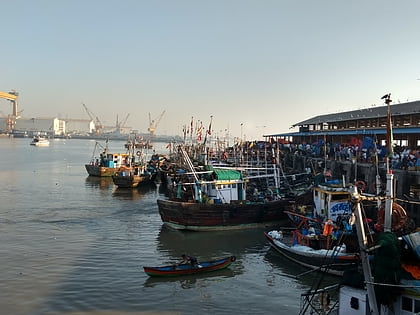
Mazagaon Fort, Mumbai
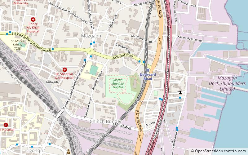
Map
Facts and practical information
The Mazagaon Fort was a British fort in Mazagaon, Bombay, in the Indian state of Maharashtra, built around 1680. The fort was razed by the Muslim Koli general, Yakut Khan in June 1690. The fort was located at the present-day Joseph Baptista Gardens, atop Bhandarwada Hill outside the Dockyard Road railway station. ()
Local name: मझगांव दुर्गCompleted: 1680 (346 years ago)Demolished: 1690Coordinates: 18°58'1"N, 72°50'34"E
Address
Byculla - MazagaonMumbai
ContactAdd
Social media
Add
Day trips
Mazagaon Fort – popular in the area (distance from the attraction)
Nearby attractions include: Jijamata Udyaan, Bhendi Bazaar, Dr. Bhau Daji Lad Museum, Raudat Tahera.
Frequently Asked Questions (FAQ)
Which popular attractions are close to Mazagaon Fort?
Nearby attractions include Joseph Baptista Gardens, Mumbai (3 min walk), Chinatown, Mumbai (7 min walk), Mazagaon, Mumbai (13 min walk), Mumbai Harbour, Mumbai (18 min walk).
How to get to Mazagaon Fort by public transport?
The nearest stations to Mazagaon Fort:
Train
Bus
Train
- Dockyard Road (3 min walk)
- Sandhurst Road (13 min walk)
Bus
- Bhaucha Dhakka / Ferry Wharf (21 min walk)


