Rajendra Setu
Map

Map

Facts and practical information
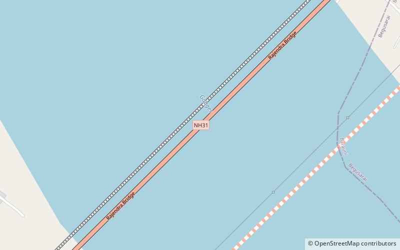
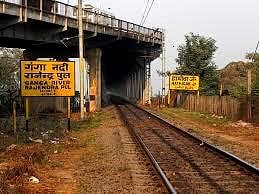
Rajendra Setu is a bridge across the River Ganges that was the first bridge to link the northern and southern portions of the state of Bihar. The location of the bridge was based on the work of M. Visvesvaraya, who was more than 90 years old at the time. On wheelchair he visited bridge site on special request from the Chief Minister Dr. Shri Krishna Sinha. ()
Local name: राजेन्द्र सेतुOpened: 1959 (67 years ago)Length: 6562 ftCoordinates: 25°22'29"N, 85°59'47"E
Location
Bihar
ContactAdd
Social media
Add
