Tiruvannamalai district, Vellore

Gallery (1)
Map
Map
Facts and practical information
Tiruvannamalai district is the largest and one of the 38 districts in the state of Tamil Nadu, in South India. It was formed in the year 1989 through the bifurcation of North Arcot into the Tiruvannamalai Sambuvarayar and Vellore Ambedkar districts. The city of Tiruvannamalai is the district headquarters. ()
Address
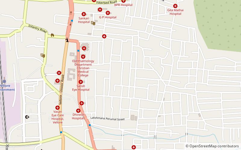
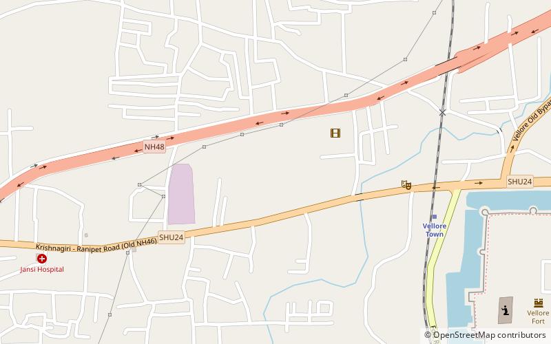
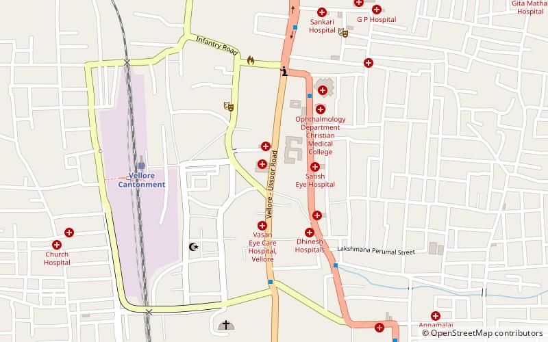
Vellore
ContactAdd
Social media
Add
Getting there by public transportation
Public transportation stops near this location
- Bus
- Train
 Bus
Bus
- Calculate routeVellore Cantonment 15 min walk
- Calculate routeVellore Town 29 min walk
- Calculate routeVellore Old Bus Stand 21 min walk
Day trips


Frequently Asked Questions (FAQ)
Which popular attractions are close to Tiruvannamalai district?
Nearby attractions include Voorhees College, Vellore (8 min walk), Vellore Fort, Vellore (21 min walk), St. John's Church, Vellore (22 min walk), Jalakandeswarar Temple, Vellore (24 min walk).
How to get to Tiruvannamalai district by public transport?
The nearest stations to Tiruvannamalai district:
Train
Bus
Train
- Vellore Cantonment (15 min walk)
- Vellore Town (29 min walk)
Bus
- Vellore Old Bus Stand (21 min walk)