Shenbakkam, Vellore
Map
Facts and practical information
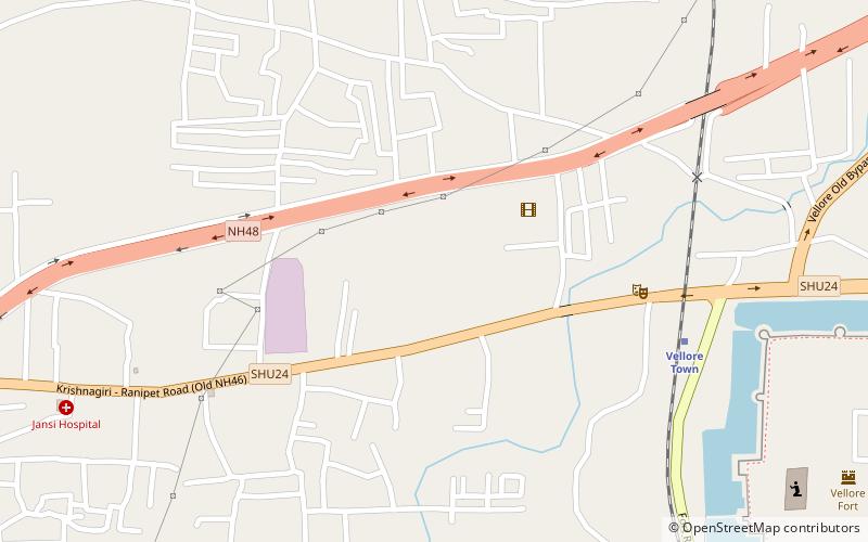
Shenbakkam is a small locality adjoining with Konavattam locality and also zone-4 headquarters of Vellore Municipal Corporation in the Indian state of Tamil Nadu. Famous Swayambu Vinayagar Temple is located here. ()
Address
Vellore
ContactAdd
Social media
Add
Getting there by public transportation
Public transportation stops near this location
- Bus
- Train
 Bus
Bus
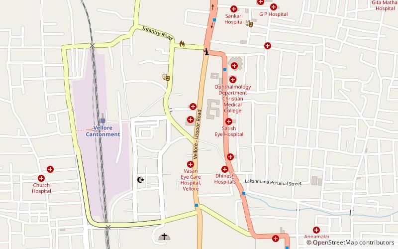
- Calculate routeVellore Town 9 min walk
- Calculate routeVellore Cantonment 28 min walk
- Calculate routeVellore Old Bus Stand 22 min walk
- Calculate routeVellore New Bus Stand 34 min walk
Day trips


Frequently Asked Questions (FAQ)
Which popular attractions are close to Shenbakkam?
Nearby attractions include Konavattam, Vellore (15 min walk), St. John's Church, Vellore (16 min walk), Jalakandeswarar Temple, Vellore (17 min walk), Vellore Fort, Vellore (17 min walk).
How to get to Shenbakkam by public transport?
The nearest stations to Shenbakkam:
Train
Bus
Train
- Vellore Town (9 min walk)
- Vellore Cantonment (28 min walk)
Bus
- Vellore Old Bus Stand (22 min walk)
- Vellore New Bus Stand (34 min walk)